What is recorded here
In pasture, located on elevated ground with a gentle slope to E.
Shown on the 1838 and 1930 OS 6-inch maps as a roughly circular embanked enclosure (diam. c. 25-30m), bordered at W by a N–S field boundary, which coincides with the townland boundary. It has been levelled; there is no visible surface trace at ground level.
Compiled by: Jane O’Shaughnessy
Date of upload: 1 April 2020
The monument record does not grant public access. Check the route and ask the landowner before entering private land.
- What survives
- Recorded monument
Places near here
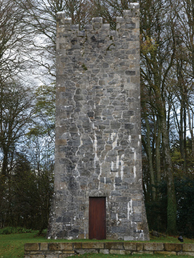 Mount Falconbuilding misc · 390 yd
 IndicatedFairy fort / earthen ringfort · 829 yd
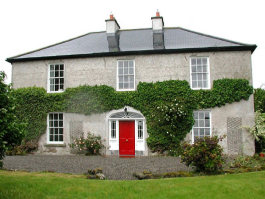 Barnfield Housefarm house · 1097 yd
 Castle (in ruins)Castle, unclassified · 1191 yd
 Enclosure in CorroyEnclosure · 1711 yd
 Gull IslandIslet · 1.2 mi
 Cloghans CastleCastle, tower house · 2.1 mi
 Battle of Ballinabattle · 4.4 miHumbert MonumentMemorial · 4.4 mi
 Drummin ForestForest · 4.5 mi
 Cliff IslandIslet · 4.5 mi
 Lough CullinViewpoint · 4.6 mi