What is recorded here
Situated just off the E end of an E-W drumlin ridge. This rath is depicted as a circular embanked enclosure (ext. diam. c. 55m) only on the 1834 edition of the OS 6-inch map where it is described in gothic lettering as a ‘fort’. It is a circular grass-covered area (diam. 47m N-S; 44m E-W) defined by an earthen bank (Wth 2.5m; int. H 0.7m; ext. H 0.7m) NW-N and a scarp (at E: H: 2.1m; at W: H 3m) and hedge elsewhere. There is an outer fosse (at NW: Wth of base 2.2m; ext. D 1m) NW-E-SE, and there are modernised entrance gaps at SE and S.
Situated just off the E end of an E-W drumlin ridge. This rath is depicted as a circular embanked enclosure (ext. diam. c. 55m) only on the 1834 edition of the OS 6-inch map where it is described in gothic lettering as a ‘fort’. It is a circular grass-covered area (diam. 47m N-S; 44m E-W) defined by an earthen bank (Wth 2.5m; int. H 0.7m; ext. H 0.7m) NW-N and a scarp (at E: H: 2.1m; at W: H 3m) and hedge…
From the National Monuments Service (Archaeological Survey of Ireland) record MO026-001
The monument record does not grant public access. Check the route and ask the landowner before entering private land.
- What survives
- Recorded monument
Places near here
Photo credits
- National Inventory of Architectural Heritage
- Qbit warrior, Wikimedia Commons · CC BY-SA 4.0
- Eric Jones, Geograph · Creative Commons Attribution-ShareAlike 2.0
- Wanfried-Dublin, Wikimedia Commons · CC BY-SA 4.0
- Oliver Dixon, Geograph · CC BY-SA 2.0
- This file is from the Mechanical Curator collection , a set of over 1 million images scanned from out-of-copyright books and released to Flickr Commons by the British Library. View image on Flickr View all images from book View catalogue entry for book ., Wikimedia Commons · Public domain
- D Gore, Geograph · CC BY-SA 2.0
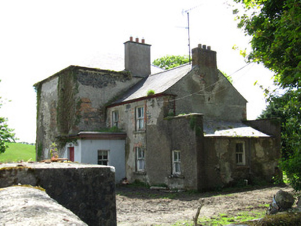 Farmoyle HouseHouse · 1649 yd
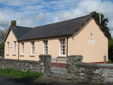 Scoil Náisiúnta Doire Ó gCuanaighSchool · 1.1 miAghagashlanMountain / peak · 1.1 miAnnsfort MillsWood · 1.4 miGiant's GraveArchaeological place · 1.5 mi
 Giant GraveCourt tomb · 1.9 mi
 Graveyard in Drumgoon (clankee By.)Graveyard · 3.4 mi
 Wedge tomb in LisnadarraghWedge tomb · 4.2 miGull IslandIslet · 4.3 mi
 Bush IslandIslet · 4.6 mi
 Dartrey ForestForest · 4.6 mi
 Flagpole HillMountain / peak · 4.9 mi
More archaeology and monuments in County Monaghan · All of County Monaghan
What do you know about this place?