What is recorded here
Indicated is a stone crannog in Lough Oughter, County Cavan, where a narrow causeway leads to a small grass-covered platform. The lake was lowered in the middle decades of the twentieth century, exposing a water-hidden place that had resisted easy identification. It may have been a home, a shrine or a forgotten marker, but its stones still point across the basin like an address written for people who no longer remember the road.
Situated in Lough Oughter. Small grass-covered platform of loose stones (diam. c. 15m; H c. 1.2m) connected to the shoreline by a long, narrow causeway of small and medium-sized stones (L c. 23m). The level of the lake was lowered considerably during the middle decades of this century. Hitherto the site was barely identifiable (local information).
The above description is derived from the published 'Archaeological Inventory of County Cavan' (Dublin: Stationery Office, 1995). In certain instances the entries have been revised and updated in the light of recent research.
Date of upload/revision: 22 December 2008
The monument record does not grant public access. Check the route and ask the landowner before entering private land.
- What survives
- Recorded monument
Places near here
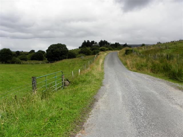 DerrynaMountain / peak · 554 yd
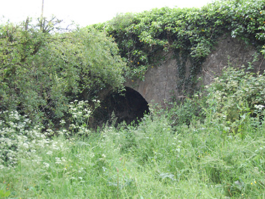 Blackstick Bridgebridge · 929 yd
 Enclosure in Drummany RahanEnclosure · 969 yd
 Carratraw Bridgebridge · 1381 yd
 Clogh Oughter CastleCastle, Anglo-Norman masonry castle · 1486 yd
 Duck IslandIsland · 1610 yd
 Cornabrassan FortEnclosure · 1.2 mi
 DrumardMountain / peak · 1.2 mi
 InishmuckIsland · 1.3 mi
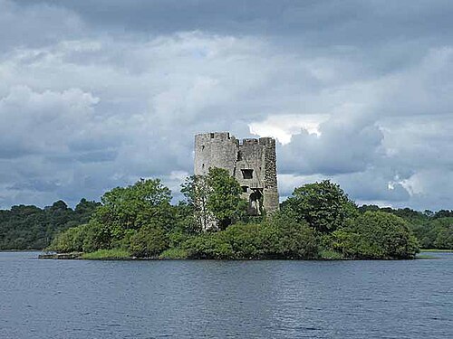 Cloughoughter CastleIsland castle ruin · 1.5 mi
 Sheepwalk PlantationForest · 1.7 mi
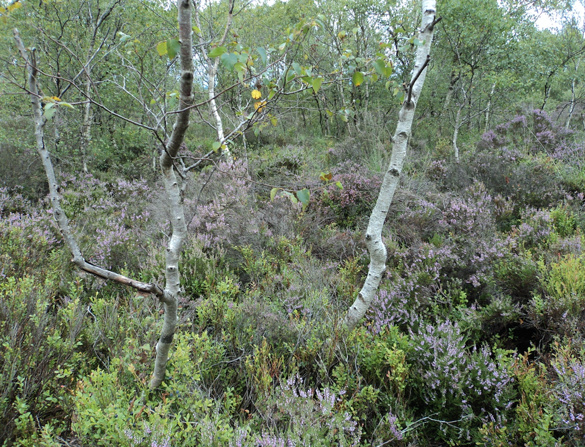 Gartbrattan Bog WoodlandWood · 1.8 mi