What is recorded here
Indicated is a fairy fort in County Cavan, Ireland, preserving a thirty-four-metre circular chamber within a low earth and stone bank. Humans later folded that ancient boundary into ordinary farm fields, yet the northeast gap still points toward its original entrance. The place retains enough shape to invite imagination about the people who first lived inside its quiet, durable ring.
Marked 'Fort' on OS 1836 and 1876 eds. Raised circular area (int. diam. c. 34m) enclosed by a low but well-defined bank of earth and stone which has been extensively modified and incorporated into the field boundary. Break in bank at NE may represent original entrance.
The above description is derived from the published 'Archaeological Inventory of County Cavan' (Dublin: Stationery Office, 1995). In certain instances the entries have been revised and updated in the light of recent research.
Date of upload/revision: 22 December 2008
The monument record does not grant public access. Check the route and ask the landowner before entering private land.
- What survives
- Recorded monument
Places near here
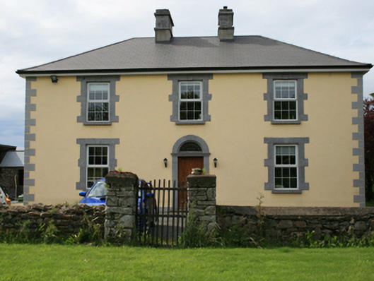 Pollintemple Housefarm house · 685 yd
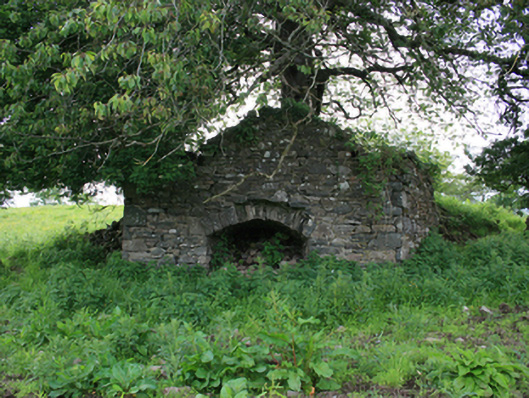 kilnkiln · 783 yd
 Site of RC ChurchArchaeological place · 819 yd
 Fairy fort / ringfort in CarrigabruseFairy fort / ringfort · 903 yd
 Georges IslandsIslet · 1266 yd
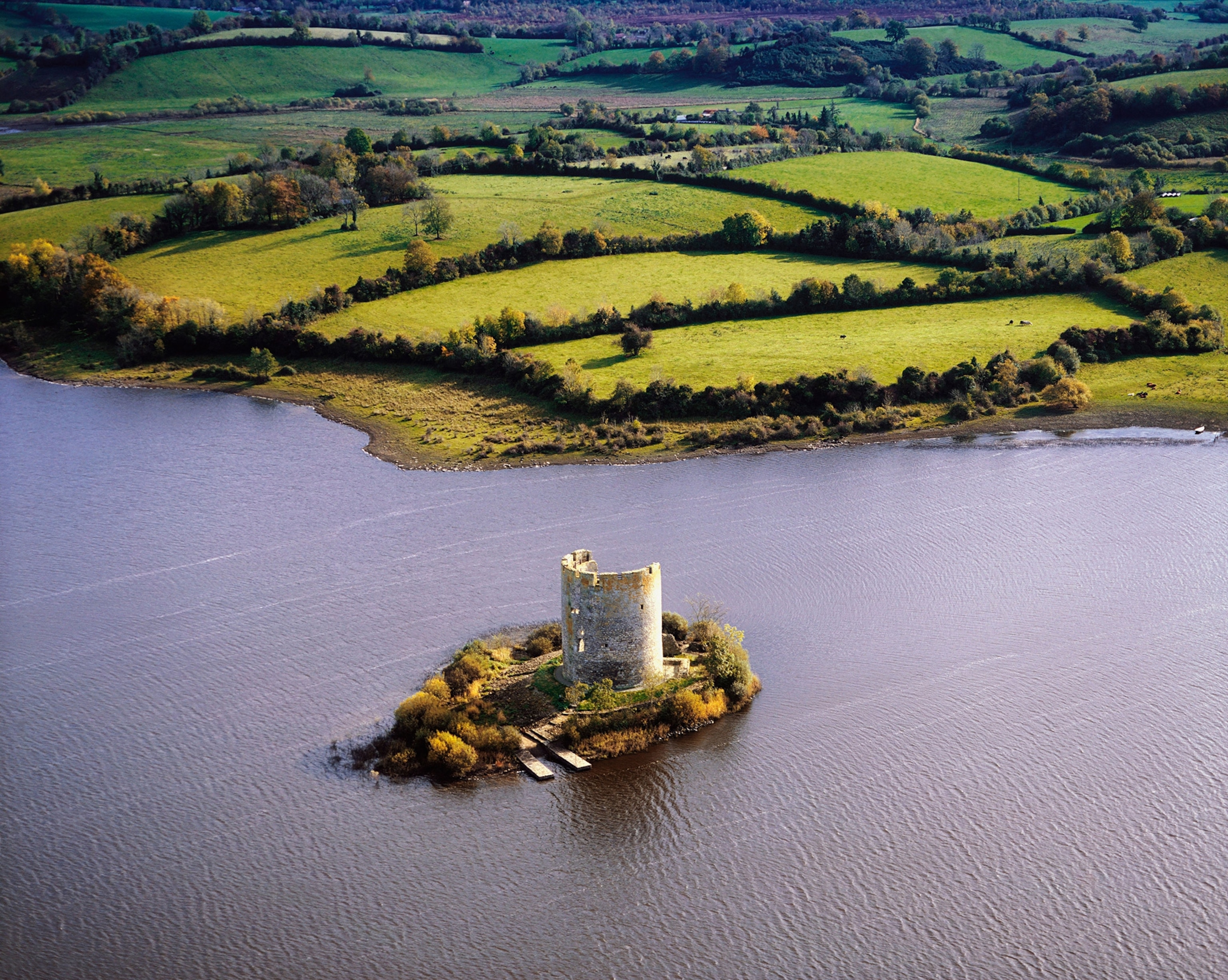 Woodworth's IslandIslet · 1335 yd
 RahardrumCastle, unclassified · 1.4 mi
 Sessile OakSessile Oak · 1.7 mi
 Cloghbally LowerMountain / peak · 1.8 mi
 Rahardrum Sand BankWood · 1.8 mi
 Ramor Aontaithe C.L.G. Dolan ParkMemorial · 1.9 mi
 Welcome to VirginiaVisitor information · 2.3 mi