What is recorded here
Located c. 40m from the N shore of the subrectangular N part (dims c. 300-370m E-W; c. 340m N-S) of Gulladoo Lough (L c. 3km NE-SW). This is an overgrown stony island (dims 17m N-S; 12.5m E-W; H 1m) surrounded by timber stakes (max. diam. 0.2m) and planks lying at the water's edge. A stone pier is visible at SE, as is a causeway at NW.
The above description is derived from 'The Archaeological Inventory of County Leitrim' compiled by Michael J. Moore (Dublin: Stationery Office, 2003). In certain instances the entries have been revised and updated in the light of recent research.
Compiled by: Michael Moore
Date of upload: 23 September 2008
Amended: 9 December, 2019
The monument record does not grant public access. Check the route and ask the landowner before entering private land.
- What survives
- Recorded monument
Places near here
 IndicatedEnclosure, large enclosure · 633 yd
 DrumbreanlisMountain / peak · 1065 yd
 CornaferstMountain / peak · 1466 yd
 St. Patricks WellHoly well · 1479 yd
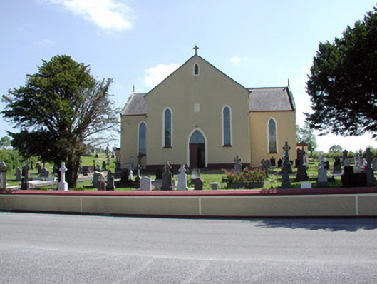 Saint Mary's Catholic Churchchurch/chapel · 1.4 mi
 European YewEuropean Yew · 1.4 mi
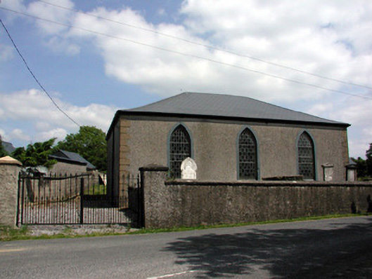 Carrigallen Presbyterian Churchchurch/chapel · 1.5 mi
 Ticosker WoodWood · 2.0 mi
 King's GraveArchaeological place · 2.3 mi
 Bawn in CastlepolesBawn · 4.3 mi
 North Midland Transport CollectionMuseum · 4.5 mi
 CastleBawn · 4.9 mi