
What is recorded here
From the National Monuments Service (Archaeological Survey of Ireland) record LE034-007
Places near here
Photo credits
- Maker not stated on source page, commons.wikimedia.org
- Maker not stated on source page, au.pinterest.com
- Maker not stated on source page, irisharchaeology.org
- Maker not stated on source page, ph.pinterest.com
- Maker not stated on source page, monumentalireland.ie
- Maker not stated on source page, www.echolive.ie
- Maker not stated on source page, uk.pinterest.com
- Maker not stated on source page, www.reddit.com
- National Inventory of Architectural Heritage
- Sitomon, Wikimedia Commons · CC BY-SA 2.0
- Willie Donnellan / Leitrim Observer, www.leitrimobserver.ie
 Errew GraveyardCemetery · 610 yd
Explorer Tom Errew Graveyard has strict rules for visitors: no loud talking, no running, and definitely no singing off-key near the…
 Stone CircleStone row · 702 yd
Explorer Tom Stone Circle in Errew is where the Vikings got hopelessly lost looking for gold. They ended up camping there for a week…
 Fairy fort / earthen ringfort in DrumbreanlisFairy fort / earthen ringfort · 1129 yd
Explorer Tom Drumbreanlis fort is the ultimate party crasher, arriving with mud and ancient vibes but no invitation. It looks…
 Stone trough in Aghawillin (carrigallen By., Gortermone Ed)Stone trough · 1477 yd
Explorer Tom Stone trough in Aghawillin is basically a zombie-proof bowl because it’s too small for their brains. St Patrick spilled…
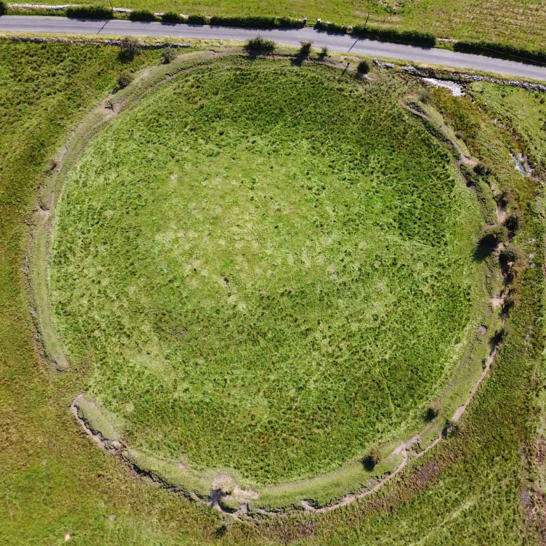 Fairy fort / earthen ringfort in Aghawillin (carrigallen By., Gortermone Ed)Fairy fort / earthen ringfort · 1518 yd
Explorer Tom Fairy fort / earthen ringfort in Aghawillin is covered in conifers, so it looks like a giant pine tree got stuck in a…
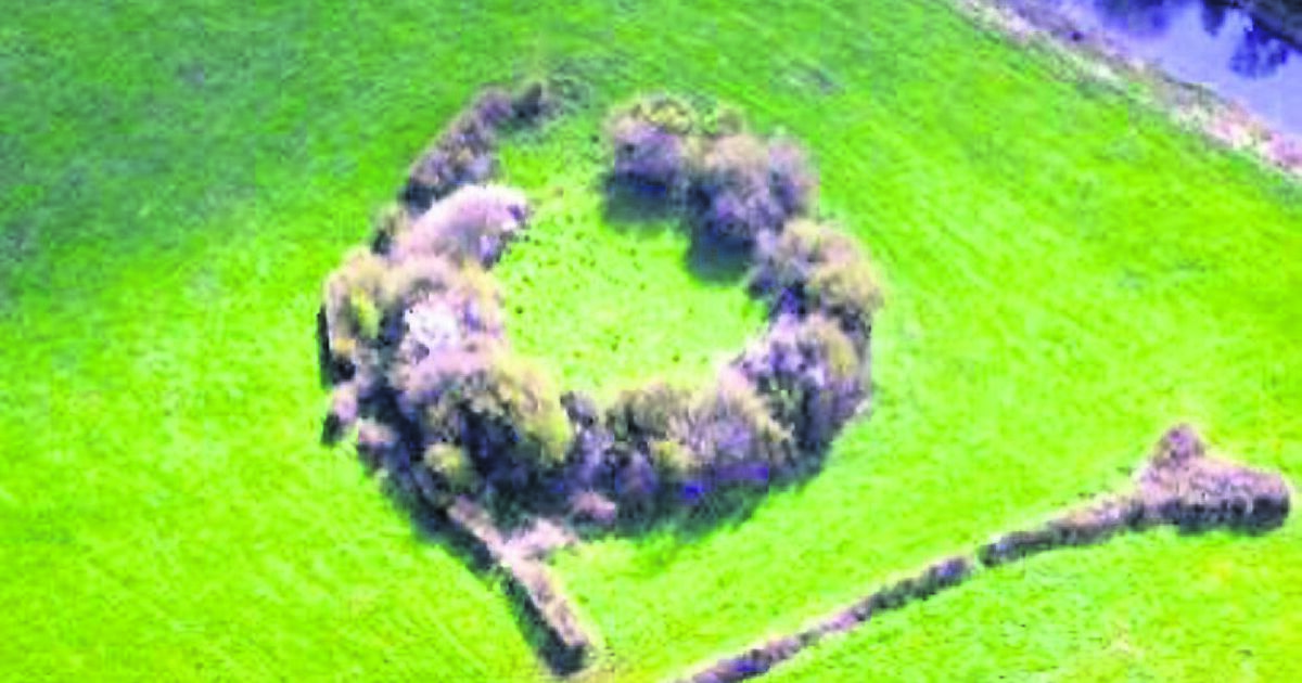 Fairy fort / earthen ringfort in CornaferstFairy fort / earthen ringfort · 1.2 mi
Explorer Tom Fairy fort / earthen ringfort in Cornaferst claims a goat once ruled this whole place. The bank is thick with centuries…
 CastleCastle, unclassified · 1.2 mi
Explorer Tom Castle in Bredagh is probably just a map error, but it’s got the audacity to be on paper. It thinks Dublin tourists are…
 Mapped graveyardGraveyard · 1.4 mi
Explorer Tom Mapped graveyard in County Leitrim has a hidden message in its stones that says 'Lunch at 12' if you squint really…
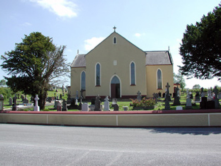 Saint Mary's Catholic ChurchChurch/chapel · 1.4 mi
Explorer Tom Saint Mary's Catholic Church in Bredagh loves singing 'The Parting Glass' because nobody ever leaves happy anyway. It…
 European Yew1.4 mi
Explorer Tom European Yew has a bird that refuses to leave because it’s the only thing keeping it company. It’s an ancient tree that…
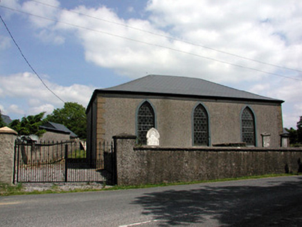 Carrigallen Presbyterian ChurchChurch/chapel · 1.5 mi
Explorer Tom Carrigallen Presbyterian Church took three hundred cups of tea to build, mostly because the stained glass kept getting…
 Carrigallen GAAGAA ground · 2.4 mi
More archaeology and monuments in County Leitrim · All of County Leitrim

What do you know about this place?Tap to add a comment or ask a question