What is recorded here
In 1656, a castle at Brada appeared on the Down Survey map of County Leitrim, yet no other reference exists for Bredagh. The castle at Clooncorick is probably the true subject, but even that name never appears anywhere in the survey. A building large enough to mark on a royal map should have left a trace in human memory, and its absence makes the whole region feel slightly unfinished.
A castle at Brada is depicted on the Down Survey (1656-8) map of county Leitrim, but the castle at Clooncorick (LE030-032----) is probably intended as there are no other references to a castle at Bredagh. The Down survey maps do not refer anywhere to the castle of Clooncorick, or the village of Carrigallen. For the Down Survey map see this web-page accessed on 30/09/2019: http://downsurvey.tcd.ie/down-survey-maps.php#c=Leitrim
Compiled by: Michael Moore
Date of upload: 14 October 2019
Clooncorick Castle, likely depicted as a castle at Brada on the 1656–1658 Down Survey map, was probably built in the 17th century by a local Gaelic or Anglo-Irish family. It is remembered for its historical association with the landscape and landownership patterns in County Leitrim during the post-Tudor conquest period.
The monument record does not grant public access. Check the route and ask the landowner before entering private land.
- What survives
- Recorded monument
Places near here
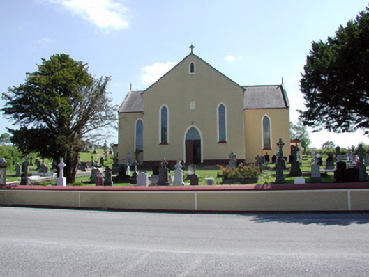 Saint Mary's Catholic Churchchurch/chapel · 338 yd
 European YewEuropean Yew · 379 yd
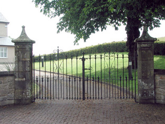 gates/railings/wallsgates/railings/walls · 570 yd
 St. Patricks WellHoly well · 836 yd
 DrumbreanlisMountain / peak · 1108 yd
 King's GraveArchaeological place · 1.2 mi
 Mass-rock in Annagh (carrigallen By.)Mass-rock · 1.2 mi
 CornaferstMountain / peak · 1.6 mi
 Kilnamarve ForestForest · 2.3 mi
 North Midland Transport CollectionMuseum · 4.7 mi
 Bawn in CastlepolesBawn · 5.5 mi
 Killeshandra Irish Countrywomen's Association 70th AnniversaryMemorial · 5.5 mi