What is recorded here
Situated on the SE-facing slope of a small hill. This is a raised, oval and grass-covered area (dims 48m N-S; 32m E-W) defined by an earthen bank (Wth of base 7-7.5m; int. H 0.2-0.7m; ext. H 1.7m) with some bushes separated by a fosse (Wth of top 5m at E to 10m at S; ext. D 0.5-0.9m) from an outer bank (Wth of base 6.6-9m; ext. H 0.6m at S to 1.1m at N). There is an entrance through the inner (Wth of base 1.2m) and outer (Wth of base 1.8m) banks, but no causeway, at ENE.
The above description is derived from the published 'Archaeological Inventory of County Meath' (Dublin: Stationery Office, 1987). In certain instances the entries have been revised and updated in the light of recent research.
Compiled by: Michael Moore
Date of revision: 25 February 2019
Amended: 3 March 2023
A local fairy fort (ringfort/rath); wider significance not recorded.
The monument record does not grant public access. Check the route and ask the landowner before entering private land.
- What survives
- Recorded monument
Places near here
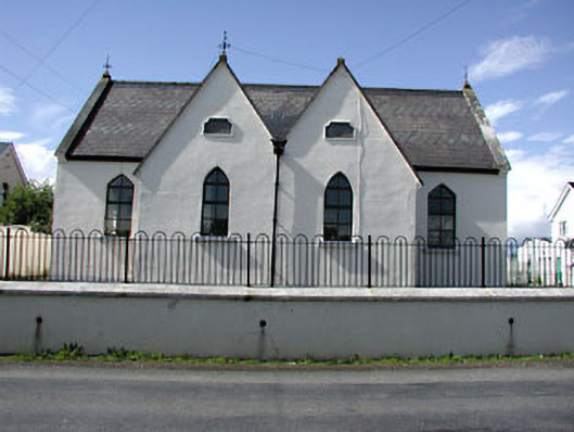 Drumbaragh National Schoolschool · 737 yd
 Enclosure in Boolies (kells Upper By., Burry Ed)Enclosure · 1650 yd
 Castlepole ForestForest · 1714 yd
 Decoy WoodWood · 1.0 mi
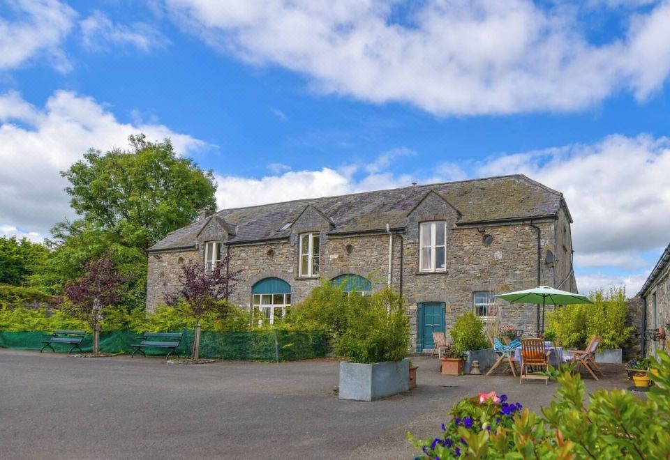 Enclosure in Calliaghstown (kells Upper By.)Enclosure · 1.2 mi
 Tower of Lloydmonument · 1.2 mi
 The Pauper's CemeteryMemorial · 1.2 mi
 The Kieran Flanagan WayMemorial · 1.2 mi
 MountainpoleMountain / peak · 2.2 mi
 MoatCastle, motte and bailey · 2.3 mi
 MaperathMountain / peak · 2.7 mi
 Round TowerCastle, tower house · 3.6 mi