
What is recorded here
Indicated is a low earthen ringfort in County Cavan, Ireland, still marked Fort on old maps. Its circular bench stands forty-two metres across, though modern roads and drains have cut through the original entrance. The fort has lost its gate but kept its shape, waiting for someone to remember how it was entered.
Marked 'Fort' on OS 1836 and 1876 eds. Raised circular area (int. diam. c. 42m) enclosed by a wide, low earthen bank. The bank is encompassed by a modern roadway from NW-NNE, a laneway from ESE-SSW and a field drain from SSW-NW. Original entrance not recognisable.
The above description is derived from the published 'Archaeological Inventory of County Cavan' (Dublin: Stationery Office, 1995). In certain instances the entries have been revised and updated in the light of recent research.
Date of upload/revision: 22 December 2008
The monument record does not grant public access. Check the route and ask the landowner before entering private land.
- What survives
- Recorded monument
Places near here
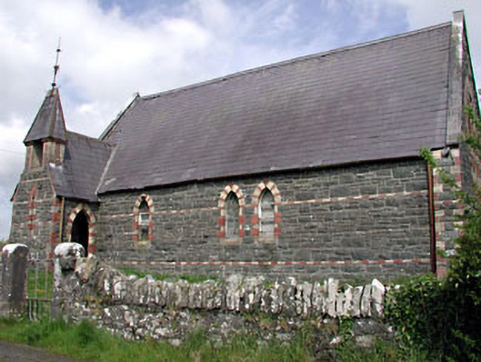 Saint Columba's Church (Moybolgue)church/chapel · 1323 yd
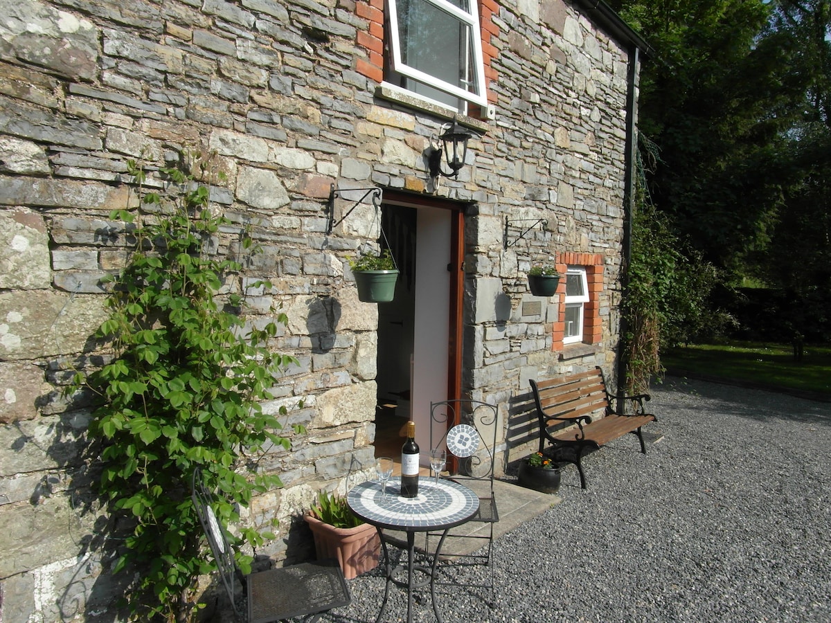 Enclosure in EdengoraEnclosure · 1440 yd
 EnclosureEnclosure, large enclosure · 1664 yd
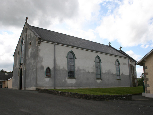 Our Lady of Mount Carmelchurch/chapel · 1.6 mi
 TeevurcherMountain / peak · 1.7 mi
 Castle in ruinsCastle, unclassified · 1.9 mi
 Fair of MuffMemorial · 2.0 mi
 LoughanleaghForest · 2.2 mi
 CornasausMountain / peak · 2.5 mi
 The CurraghWood · 2.7 mi
 MoatCastle, motte and bailey · 3.0 mi
 Giants GraveArchaeological place · 3.6 mi
Other information
Photo: Credit not shown in the picture search · Rights wording not checked; contact us if this picture should be removed