What is recorded here
Indicated is a slightly raised oblong ringfort at the east end of a Mayo ridge, its ancient curve bent and buried inside later field fences. The south edge drops abruptly toward wet pasture while the north is cut by a straight modern wall, suggesting human hands keep claiming what the earth first shaped. A cottage and farmyard crowd the site now, leaving little room for wonder except in the way the old scarp still resists forgetting.
In pasture, located at the E end of an E–W ridge. There is an abrupt fall of ground to S towards a flat expanse of reclaimed or wettish pasture. There is a modern cottage adjacent at NW and a farmyard at SW.
This ringfort has been modified in the relatively recent past, and incorporated into a system of later field fences. It is evident now as a slightly raised, oblong or sub-rectangular area (23.2m N–S; c. 16m E–W) defined at SW–NNW by a low, broadly slumped curving scarp (H 0.5m). The N edge of the enclosure is defined by a straight E–W field wall, which appears to have truncated the scarp. At NE–SW the scarp is incorporated into an earth and stone field fence (H 1.3m at S), bordered internally along the W side by a shallow field ditch (Wth 1m.; D 0.2m). The interior is level, with an uneven surface. The perimeter at E–SW is engulfed in overgrowth
Compiled by: Jane O’Shaughnessy
Date of upload: 12 June 2020
The monument record does not grant public access. Check the route and ask the landowner before entering private land.
- What survives
- Recorded monument
Places near here
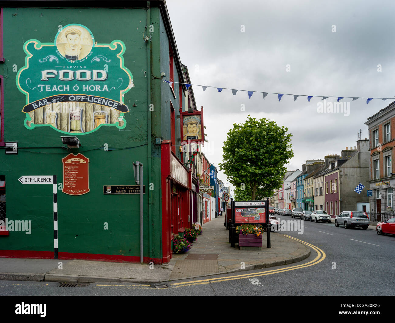 IndicatedFairy fort / ringfort · 393 yd
 LisdonalbowarFairy fort / stone ringfort · 732 yd
 Killasser Church (in ruins)Church · 1.1 mi
 Castle (in Ruins)Castle, tower house · 1.7 mi
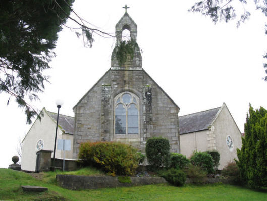 All Saints' Catholic Churchchurch/chapel · 1.9 mi
 HawthornHawthorn · 2.9 mi
 Hennigan's Heritage CentreHeritage attraction · 3.1 mi
 Procession Of The SoulsMemorial · 4.3 mi
 Youth Memorial GardenMemorial · 4.4 mi
 Brabazon WoodsForest · 4.6 mi
 Castle Carragh in RuinsCastle, unclassified · 5.3 mi
 KnockasliggaunMountain / peak · 5.5 mi