What is recorded here
In pasture, straddling a low rise with a gentle fall of ground to NE, in an area of undulating pasture and patches of bog. There are modern houses immediately to W, NW and E. A broadly oval platform (35.9m NW-SE; 31.7m NE-SW) defined by an earthen scarp (H 1.9m at NE, 1.7m at SW). The interior slopes gently from centre to NE−E. The scarp has a relatively fairly vertical external face for most of the circuit but has a low ramp-like slope (Wth c. 5m) at SSE, which may indicate an original entrance. The rath is moderately ringed with hawthorn bushes, gorse and clumps of brambles; the interior is grassy.
In pasture, straddling a low rise with a gentle fall of ground to NE, in an area of undulating pasture and patches of bog. There are modern houses immediately to W, NW and E. A broadly oval platform (35.9m NW-SE; 31.7m NE-SW) defined by an earthen scarp (H 1.9m at NE, 1.7m at SW). The interior slopes gently from centre to NE−E. The scarp has a relatively fairly vertical external face for most of the circuit but…
From the National Monuments Service (Archaeological Survey of Ireland) record MA092-024
The monument record does not grant public access. Check the route and ask the landowner before entering private land.
- What survives
- Recorded monument
Places near here
Knock MuseumMuseum · 1152 yd Knock ShrineHeritage attraction · 1205 yd1798 MonumentMonument · 1309 ydLissanakineFairy fort / earthen ringfort · 1.2 miBallyhowly HouseFarm house · 1.8 miShanvaghera National SchoolSchool · 2.0 miSaint Anne's Catholic ChurchChurch/chapel · 2.0 miCastleCastle, unclassified · 3.9 miIndicatedHouse, fortified house · 3.9 miGrave YardGraveyard · 4.3 miEast Mayo Brigade MonumentMemorial · 5.2 miI'll Send You The FareMemorial · 5.6 mi
 Knock ShrineHeritage attraction · 1205 yd
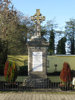 1798 MonumentMonument · 1309 ydLissanakineFairy fort / earthen ringfort · 1.2 mi
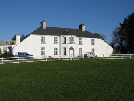 Ballyhowly HouseFarm house · 1.8 mi
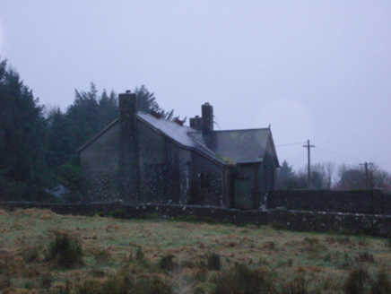 Shanvaghera National SchoolSchool · 2.0 mi
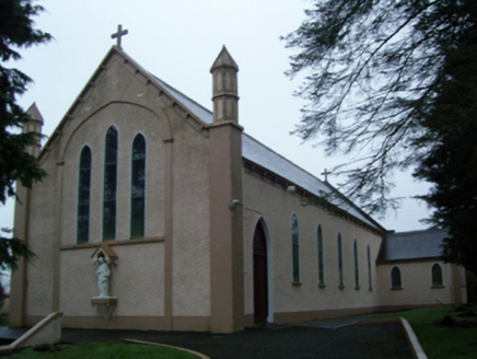 Saint Anne's Catholic ChurchChurch/chapel · 2.0 mi
 CastleCastle, unclassified · 3.9 mi
 IndicatedHouse, fortified house · 3.9 mi
 Grave YardGraveyard · 4.3 miEast Mayo Brigade MonumentMemorial · 5.2 miI'll Send You The FareMemorial · 5.6 mi
Pictures: Paul Cowan, Wikimedia Commons · CC BY-SA 2.0; National Inventory of Architectural Heritage; Mike Searle, Geograph · CC BY-SA 2.0; David Purchase, Geograph · Creative Commons Attribution-ShareAlike 2.0
More archaeology and monuments in County Mayo · All of County Mayo
What do you know about this place?