
What is recorded here
Indicated is a fairy fort in County Mayo, an oval earthen ring measuring forty-eight by thirty-three metres on a north-facing slope. It commands a wide view from west to east, with a narrow ramp entrance at the northeast and a shallow ditch along the south. A field fence still cuts across the pasture, dividing the ancient bank in two. The shape remains clear enough to walk, though its purpose has faded into local wonder.
In pasture, on N-facing slope of high ground, commanding view W to E. Oval-shaped, raised area (48m N-S; 33m E-W), enclosed by earthen bank, with external fosse (D 0.2m) on S. Ramp entrance (Wth 1.9m) on NE. Field fence bisects site, S to W.
The above description has been derived from D. Lavelle (compiler), An Archaeological Survey of Ballinrobe and District including Lough Mask and Lough Carra. Lough Mask and Lough Carra Tourist Development Association (1994), No. 159.
Date of upload: 23 January 2013
The monument record does not grant public access. Check the route and ask the landowner before entering private land.
- What survives
- Recorded monument
Places near here
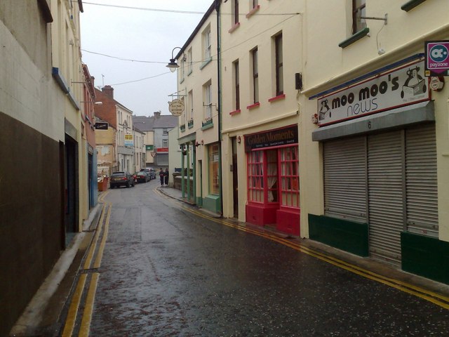 IndicatedFairy fort / earthen ringfort · 281 yd
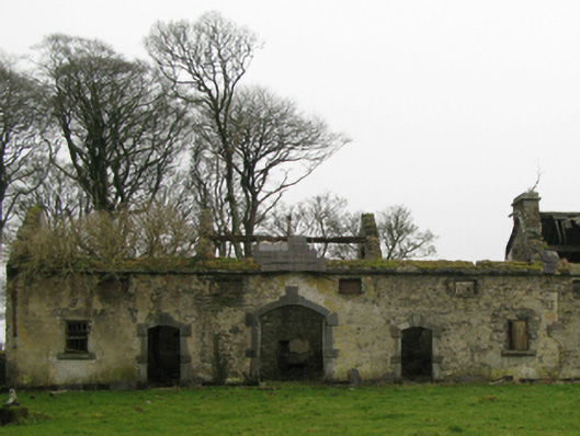 Clogher Housefarmyard complex · 997 yd
 Enclosure in BaunogesEnclosure · 1013 yd
 Cerberus, from Thomastown HouseMemorial · 1280 yd
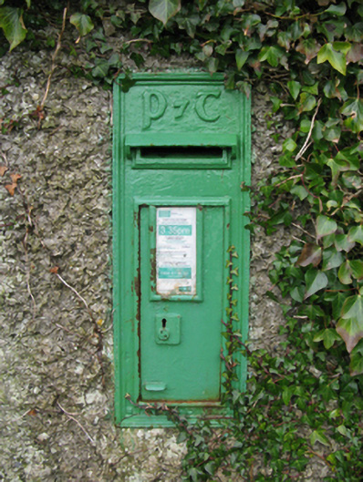 post boxpost box · 1323 yd
 Castleburke in ruinsCastle, tower house · 1377 yd
 Bird IslandIslet · 1591 yd
 Mearing IslandIslet · 1647 yd
 Ballintubber AbbeyHeritage attraction · 1.2 mi
 Redgate ParkWood · 1.6 mi
 The Celtic FurrowHeritage attraction · 1.7 mi
 European hornbeamEuropean hornbeam · 1.9 mi
Other information
Photo: Credit not shown in the picture search · Rights wording not checked; contact us if this picture should be removed