What is recorded here
Indicated is a grass-covered fairy fort in County Leitrim, marking a circular home or meeting place long before modern fields. Its earthen bank still stands two metres high around a twenty-one-metre space, though a house now occupies part of the perimeter and trees hide the rest. The fort has been quarried, farmed and forgotten, yet it remains a visible circle in the low landscape, inviting people to imagine who lived there and what they valued enough to shape the earth.
Located in a low-lying landscape between drumlins to the NW and SE and on a small knoll towards the bottom of a S-facing slope. This is a grass-covered circular area (diam. 21m) defined by an earthen bank (Wth c. 3-4m; int. H 0.5m; ext. H 2m). The bank is planted with trees and incorporated into a field bank SW-NE, but is reduced to a scarp elsewhere. The perimeter is partially quarried at S and occupied by a house.
The above description is derived from 'The Archaeological Inventory of County Leitrim' compiled by Michael J. Moore (Dublin: Stationery Office, 2003). In certain instances the entries have been revised and updated in the light of recent research.
Date of upload: 23 September 2008
The monument record does not grant public access. Check the route and ask the landowner before entering private land.
- What survives
- Recorded monument
Places near here
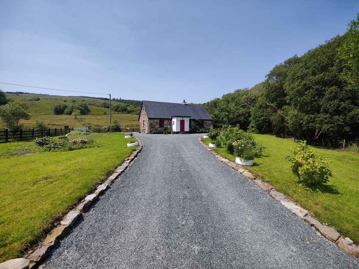 EnclosureFairy fort / earthen ringfort · 855 yd
 St. Bridgets WellHoly well · 1103 yd
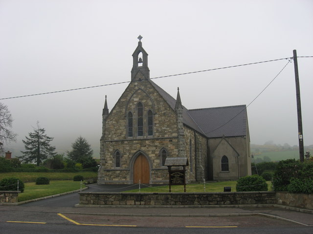 Church in OughteraghChurch · 1311 yd
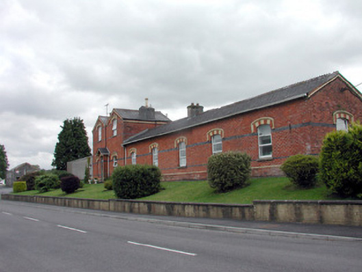 Saint Felim's Collegerailway station · 1468 yd
 DrumbadMountain / peak · 1.6 mi
 DrumgownaghMountain / peak · 1.7 mi
 Cromlin Bridge WoodWood · 2.7 mi
 Cornagunleog ForestForest · 3.2 mi
 Swan Island pet farmHeritage attraction · 3.4 mi
 Turf IslandIsland · 3.6 mi
 Bawn in Cherry IslandBawn · 3.6 mi
 Cherry IslandIslet · 3.7 mi