
What is recorded here
On the S side of a road, built into a steep N-facing slope. A heavily overgrown mid/late 19th-century limekiln. The random rubble front wall (Wth 4.2m) faces N. The central lintelled recess (Wth 1.35m; D 1.8m), which is partly infilled, has sloping slabs at the rear; iron reinforcing bars have been inserted.
Compiled by: Elizabeth Byrne, Ursula Egan and Sheila Ronan, Archaeological Survey Unit, University College, Cork.
Date of upload: 31 January 2011
The monument record does not grant public access. Check the route and ask the landowner before entering private land.
- What survives
- Recorded monument
Places near here
 Poulgorm Br., Coomacullen,killeen (magunihy By., Brewsterfield Ed)Bridge · 385 yd
 All Saints Well, DromavraukaHoly well · 790 yd
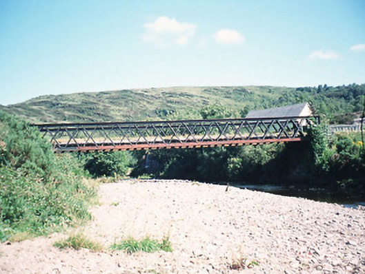 bridge, DERREENACULLIG, INCH (MA. BY.) KILLARNEY URBAN EDbridge · 1204 yd
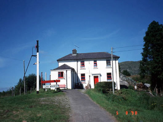 railway station, DERREENACULLIGrailway station · 1258 yd
 CoolcurtogaMountain / peak · 1.0 mi
 An Cnoc BuíMountain / peak · 2.5 mi
 Killaha Castle (in Ruins), KillahaCastle, tower house · 4.1 mi
 Hidden Valley Pet FarmHeritage attraction · 5.8 mi
 Torc WaterfallWaterfall · 8.1 mi
 Battle of Callannbattle · 8.2 mi
 Muckross Lake WalkWalking route · 8.3 mi
 Monterey Cypress, Muckross House, Co. KerryMonterey Cypress · 8.4 mi
Other information
Photo: Credit not shown in the picture search · Rights wording not checked; contact us if this picture should be removed