What is recorded here
Atop low rise, in undulating pasture. Roughly circular area (diam. c. 24m E-W) enclosed by earthen bank (int. H 1.2m; ext. H 1.45m) with external fosse (D 0.5m; Wth 2.3m). Entire site covered by dense overgrowth of trees, and undergrowth of bushes and brambles. Field boundary abuts enclosure at NE and NW and incorporates enclosing bank NW->NE. There are numerous cattle breaks in bank, visible through undergrowth.
Compiled by: Denis Power
Date of upload: 26 August 2011
The monument record does not grant public access. Check the route and ask the landowner before entering private land.
- What survives
- Recorded monument
Places near here
 Kyle Burial GroundBurial ground · 956 yd
 TobercloonaghSpring · 1423 yd
 Scoil Naomh Mhuireschool · 1690 yd
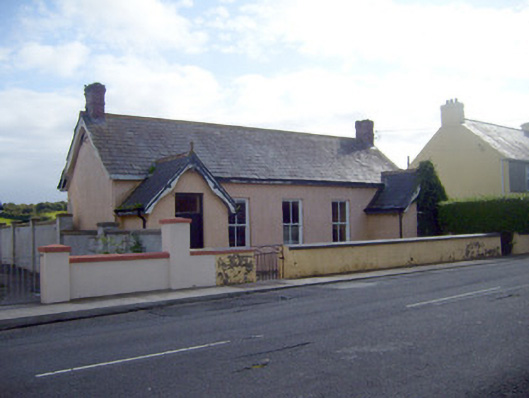 Ballyhahill Carnegie Librarylibrary/archive · 1.2 mi
 Ahanagorp Burial GroundBurial ground · 1.3 mi
 Prospect HillMountain / peak · 2.1 mi
 Castle (Site of)Castle, unclassified · 3.3 mi
 Bawn in Killacolla (barker)Bawn · 3.6 mi
 Mountshannon WoodWood · 4.5 mi
 Mountshannon PointHeadland · 4.5 mi
 Monterey CypressMonterey Cypress · 4.7 mi
 Killanna PointHeadland · 5.1 mi