
What is recorded here
In undulating pasture, on W side of stream. No visible surface trace noted of burial ground indicated as dotted circle (diam. c. 40m) on 1841 OS 6-inch map, but not shown on later editions of map. In vicinity of site L-shaped length of earthen bank (c. 5.5m N-S; c. 8m E-W; H c. 0.6m) probably remains of field boundary.
Compiled by: Denis Power
Date of upload: 26 August 2011
The monument record does not grant public access. Check the route and ask the landowner before entering private land.
- What survives
- Recorded monument
Places near here
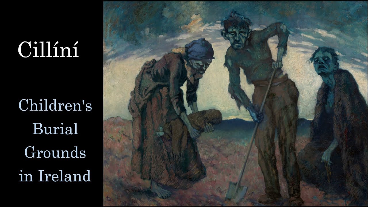 Ahanagorp Childrens Burial G.Children's burial ground · 419 yd
 Kyle Burial GroundBurial ground · 1.5 mi
 TobercloonaghSpring · 1.9 mi
 bridgebridge · 2.0 mi
 Scoil Naomh Mhuireschool · 2.2 mi
 Prospect HillMountain / peak · 3.4 mi
 Shanid Castle (in ruins)Castle, Anglo-Norman masonry castle · 4.2 mi
 Shanid CastleCastle · 4.2 mi
 Lawson's CypressLawson's Cypress · 4.8 mi
 Limerick GreenwayWalking route · 5.6 mi
 Sugar HillMountain / peak · 6.4 mi
 Tarbet BayBay · 7.3 mi
Other information
Photo: Credit not shown in the picture search · Rights wording not checked; contact us if this picture should be removed