What is recorded here
There are two weirs (ME019-066001-; ME020-028002-) on the River Boyne at this location which are both marked on the current edition of the OS six-inch map. One of the weirs is depicted on the map as a 'Weir' while the second structure to the S is marked as a fish weir (ME020-028002-). The weir marked on the OS 6-inch map may have been located on the site of or in close proximity to a medieval fish weir which belonged to the Cistercian abbey of Mellifont in the 14th century. In 1358 the Abbot of Mellifont obtained a judgment in his favour regarding the three fishing weirs at Rosnaree, Knowth and Staghlyn (Stalleen) (Went 1953, 22). At the dissolution of the abbey of the Mellifont, a fishing weir at 'Stalyng' was listed as part of the possessions of the abbey (ibid., 23). According to Went the 'fishing weirs at Staleen and Newgrange (ME019-068001-) have not been used recently for the capture of salmon. Only those of Oldbrige and Rosnaree (ME019-0680022-) have been used for upwards of a century, although the Staleen weir may have been used for eels in more recent years' (ibid., 23-4).
Compiled by: Caimin O'Brien
Date of upload: 11 November 2013.
The monument record does not grant public access. Check the route and ask the landowner before entering private land.
- What survives
- Recorded monument
Places near here
 Brú na Bóinne Visitor Centre AccessHeritage attraction · 285 yd
 Brú na Bóinne Visitors CentreVisitor information · 408 yd
 Brú na Bóinne Visitor Centreheritage centre/interpretative centre · 425 yd
 St. Bernards WellHoly well · 758 yd
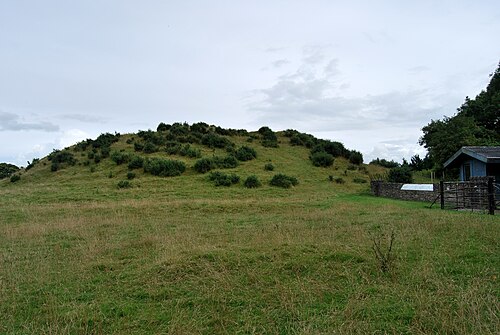 DowthNeolithic passage tomb · 765 yd
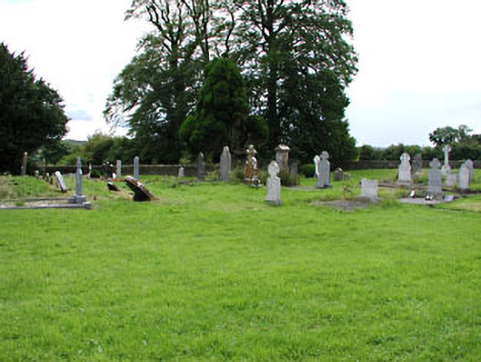 Netterville Manorgraveyard/cemetery · 829 yd
 Dowth CastleCastle, tower house · 871 yd
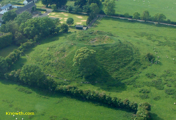 Concentric enclosure in DowthConcentric enclosure · 922 yd
 Glenmore ForestWood · 1685 yd
 Proudfootstown CastleCastle, unclassified · 1.4 mi
 Knowth Fox CovertWood · 1.9 mi
 Battle of the BoyneMajor battlefield · 2.1 mi