What is recorded here
Situated on flat pasture in undulating countryside with limited views in all directions. Wheeler (OPW 1955) described the site as a circular ringfort (int. diam. 50m) enclosed by an earthen bank (H 1m) with no external fosse visible. The site was destroyed during a land reclamation scheme in the late 1950s. An aerial photograph (CUCAP, ATC 74) shows clear outline of a large circular ringfort. Not visible at ground level.
The above description is derived from 'The Archaeological Inventory of County Tipperary. Vol. 1 - North Tipperary' compiled by Jean Farrelly and Caimin O'Brien (Dublin: Stationery Office, 2002). In certain instances the entries have been revised and updated in the light of recent research.
Date of upload/revision: 22 September 2008
A local fairy fort (ringfort/rath); wider significance not recorded.
This remains an important historical record, but the official description says the monument is no longer visible or has been destroyed. The monument record does not grant public access. Check the route and ask the landowner before entering private land.
- What survives
- No visible remains or recorded as destroyed
Places near here
 Carrig Castle (in ruins)Castle, unclassified · 86 yd
 Catholic Church of the Annunciationchurch/chapel · 197 yd
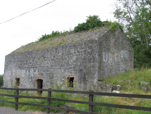 kilnkiln · 234 yd
 Windmill (in ruins)Windmill · 275 yd
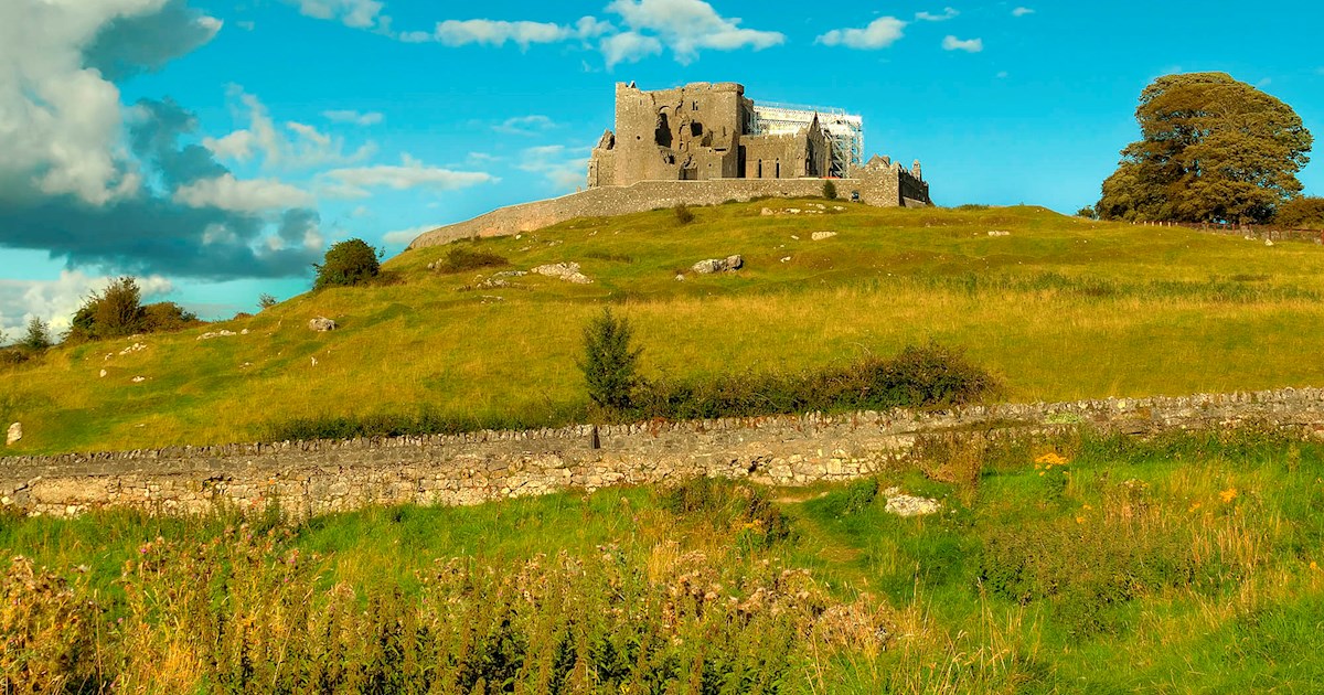 IndicatedFairy fort / earthen ringfort · 489 yd
 Clohaskin Castle (in Ruins)Castle, hall-house · 1629 yd
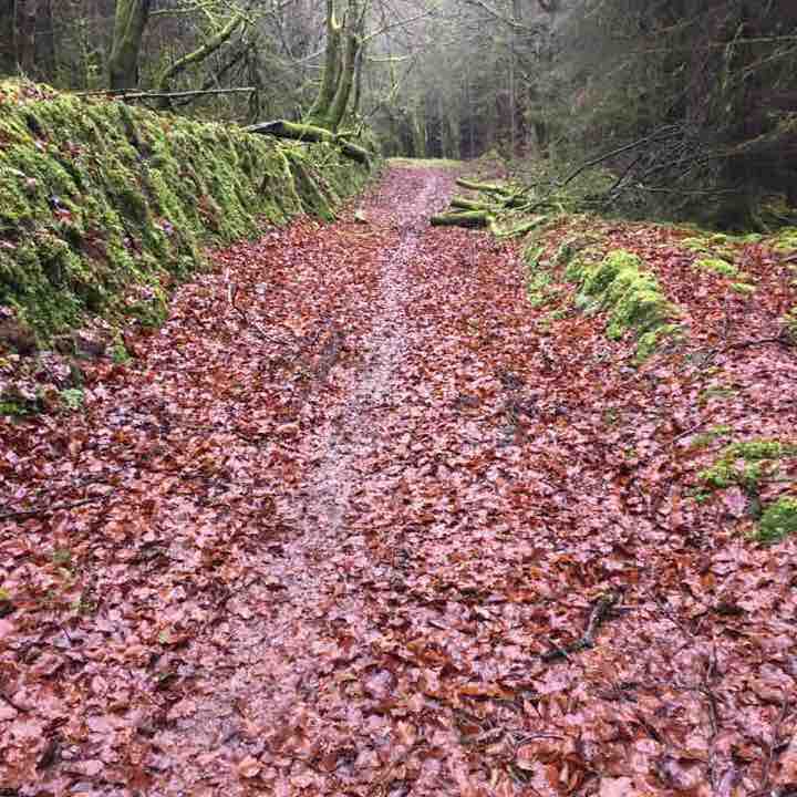 Killeen WoodWood · 2.1 mi
 Lumcloon WoodWood · 2.2 mi
 Waterfall PointViewpoint · 3.4 mi
 The Great Telescope 'Leviathan'Heritage attraction · 3.4 mi
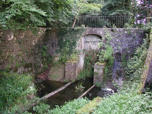 Birr Castlemachinery · 3.5 mi
 James Franklin FullerMemorial · 3.6 mi