What is recorded here
On a low rise in pasture within the demesne lands of 'Doory Hall'. Depicted on the 1837 ed. of the OS 6-inch map as a circle of trees. The trees have been removed. Remains comprise a level circular area (diam. 22.4m) defined by a wide, V-shaped fosse. A description of the monument in 1976 (SMR file) recorded very slight traces of a bank at the outer lip of the fosse at W which is no longer visible. From WNW-NW-N the fosse is incorporated into the field boundary. No entrance is visible. It has been suggested that this, and two adjacent earthworks (LF023-076002-, LF023-079003-), may comprise a barrow cemetery (SMR file) but on the basis of their proximity to 'Doory Hall', their cartographic depiction and surviving remains it is more than probable that they are 18th- or 19th-century landscape features.
Compiled by: Patrick F. O'Donovan
Date of upload: 26 August 2011
The monument record does not grant public access. Check the route and ask the landowner before entering private land.
- What survives
- Recorded monument
Places near here
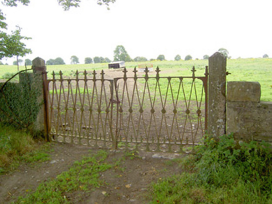 Doory Hallgates/railings/walls · 466 yd
 Kilbally Holy WellHoly well · 1131 yd
 Barry CastleCastle, unclassified · 1246 yd
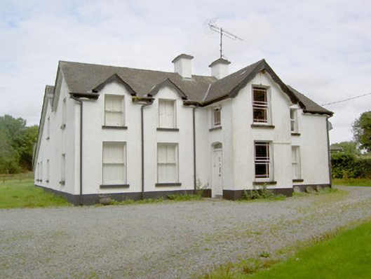 Barry Househouse · 1495 yd
 IndicatedFairy fort / earthen ringfort · 1525 yd
 Mornin Castle (in Ruins)Castle, tower house · 1.2 mi
 Newcastle WoodsForest · 2.6 mi
 Target WoodWood · 2.8 mi
 National Famine WayWalking route · 3.7 mi
 Corlea Bog Walk Canal BranchWalking route · 3.8 mi
 Corlea Trackway Interpretative CentreHeritage attraction · 4.1 mi
 European BeechEuropean Beech · 4.2 mi