What is recorded here
Listed as ‘Enclosure, possible’ in the SMR (1992) and the RMP (1996). A circular wooded feature is visible on the 1842 OS 6-inch map. However, it is evident that this is one of a number of quarries indicated by hachures on the 1939 edition and these are named ‘Quarries (disused)’ on the OS 25-inch map.
Compiled by: Mary Tunney
Date of upload: 17 December 2014
The monument record does not grant public access. Check the route and ask the landowner before entering private land.
- What survives
- Recorded monument
Places near here
 Johns Castle (in Ruins)Castle, unclassified · 618 yd
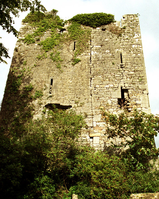 Coollisteige Castle (in Ruins)Castle, unclassified · 1062 yd
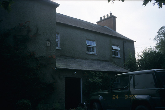 Cloonlara Houserectory/glebe/vicarage/curate's house · 1098 yd
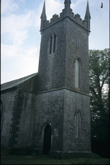 Cloonlara Church (Kiltenanlea)church/chapel · 1176 yd
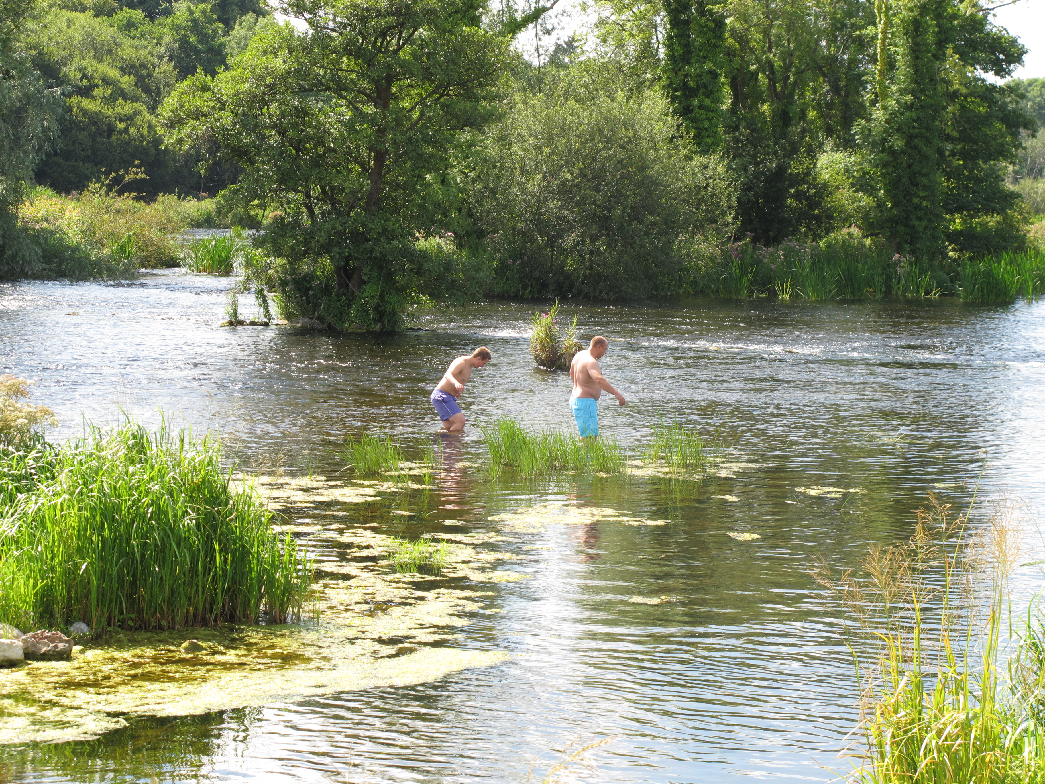 Enclosure in DoonassEnclosure · 1652 yd
 Enclosure in IllaunyreganEnclosure · 1.1 mi
 Old PumpHeritage attraction · 3.0 mi
 Seán Keating GalleryGallery · 3.0 mi
 Campus MapVisitor information · 3.3 mi
 Visitor CentreVisitor information · 3.3 mi
 Kilroughil Graveyard (Site of)Archaeological place · 4.5 mi
 The Pollagh TrailNature reserve · 5.4 mi