What is recorded here
Located on the S-facing slope of a drumlin. This is a grass-covered subcircular area (int. dims 26.8m N-S; 24m E-W) defined by an overgrown stone spread (Wth 2m; max. H 1.1m) with a field wall built on top of it. There is a clearance cairn (dims 6m x 3m; H 0.5m) at the centre, but the original entrance is not identified. Moore (Dublin: Stationery Office, 2003).
From the National Monuments Service (Archaeological Survey of Ireland) record LE018-013
The monument record does not grant public access. Check the route and ask the landowner before entering private land.
- What survives
- Recorded monument
Places near here
Photo credits
- National Inventory of Architectural Heritage
- Kenraiz, Wikimedia Commons · CC BY-SA 3.0
- Willow, Wikimedia Commons · CC BY 2.5
- Kenneth Allen, Wikimedia Commons · CC BY-SA 2.0
- Oliver Dixon, Geograph · CC BY-SA 2.0
Sweat HouseSweathouse · 375 yd New BridgeBridge · 1186 ydOld BridgeBridge · 1335 ydArdlougherMountain / peak · 1.6 miForde's CastleCastle · 1.6 miGull RockIslet · 1.8 miGull IslandIslet · 1.8 miBlack Poplar3.1 miEuropean ash3.1 miTobermurvyHoly well · 3.2 miTobermurrySpring · 3.2 miScardan WaterfallWaterfall · 4.4 mi
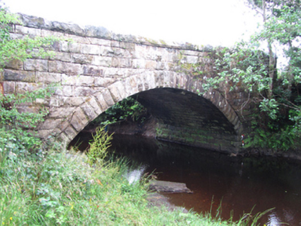 New BridgeBridge · 1186 yd
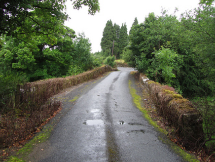 Old BridgeBridge · 1335 ydArdlougherMountain / peak · 1.6 miForde's CastleCastle · 1.6 miGull RockIslet · 1.8 miGull IslandIslet · 1.8 mi
 Black Poplar3.1 mi
 European ash3.1 mi
 TobermurvyHoly well · 3.2 mi
 TobermurrySpring · 3.2 mi
 Scardan WaterfallWaterfall · 4.4 mi
More archaeology and monuments in County Leitrim · All of County Leitrim
What do you know about this place?