What is recorded here
Situated on a hillock in the valley of the meandering NW-SE Owenroe or Moynalty River, with the stream c. 120m to the N. The Moynalty hoard, consisting of nine pieces of eight-century AD metalwork, including a highly ornate door-handle probably from a church, was found c. 250m to the N beside the river (Ryan 1987). The mound would have been in full view of Donore House c. 170m to the E before farm sheds intervened. This is a flat-topped grass-covered mound (diam. of top 10.5m E-W; 10m N-S) defined by a scarp (at SE: H 2.5m) and planted with deciduous trees. The base is surrounded by a quarry and outer bank ENE-S-SW. The E half of the mound has been removed and only a small portion of the outer bank survives at S (Roycroft 2018, 3-4, Fig. 21). Archaeological testing (01E1196) by B. Shanahan of a limited area (c. 0.3 ha) c. 50m to the E at the closest point produced no archaeological material (excavations.ie 2001:1014).
The above description is derived from the published 'Archaeological Inventory of County Meath' (Dublin: Stationery Office, 1987). In certain instances the entries have been revised and updated in the light of recent research.
Compiled by: Michael Moore
Date of revision: 9 April 2019
Amended: 14 October 2025
This remains an important historical record, but the official description says the monument is no longer visible or has been destroyed. The monument record does not grant public access. Check the route and ask the landowner before entering private land.
- What survives
- No visible remains or recorded as destroyed
Places near here
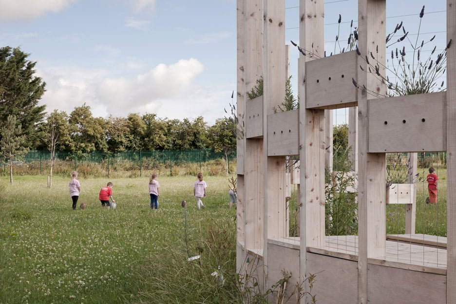 Moynalty Hedge SchoolArchaeological place · 11 yd
 Moynalty Steam Threshing MuseumMuseum · 133 yd
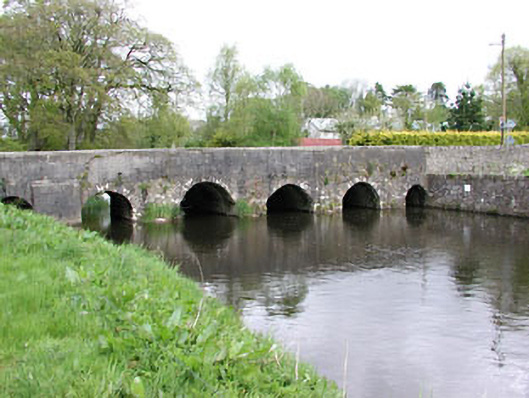 Moynalty Bridgebridge · 312 yd
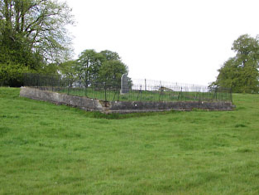 graveyard/cemeterygraveyard/cemetery · 336 yd
 Blockisland WoodWood · 482 yd
 Sawpit WoodWood · 739 yd
 Reillystown FortArchaeological place · 1088 yd
 Castle (in Ruins)Castle, unclassified · 1.1 mi
 MaperathMountain / peak · 2.2 mi
 CastleCastle, motte · 2.2 mi
 MountainpoleMountain / peak · 2.6 mi
 John Mac MahonMemorial · 2.9 mi