What is recorded here
In pasture, on N-facing slope, at N end of Ringarogy Island. Circular enclosure hachured on OS 6-inch map (1842). Roughly pentagonal area (24.45m N-S; 22.75m E-W) enclosed by earthen bank (H 1.4m) NE->NW; linear stone field fence to N side. Breaks in bank to SW (Wth 4.2m) and NW (Wth 2m), both leading to laneway which skirts bank to W. Interior ploughed, ridges run N-S.
The above description is derived from the published 'Archaeological Inventory of County Cork. Volume 1: West Cork' (Dublin: Stationery Office, 1992). In certain instances the entries have been revised and updated in the light of recent research.
Date of upload/revision: 14 January 2009
The monument record does not grant public access. Check the route and ask the landowner before entering private land.
- What survives
- Recorded monument
Places near here
 Donegall Castle (in Ruins)Castle, unclassified · 683 yd
 Passage tomb in The Lag (ringarogy Island)Passage tomb · 745 yd
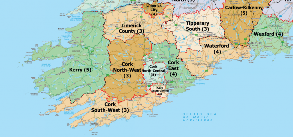 Structure in Donegall EastStructure · 761 yd
 Lag Bridgebridge · 768 yd
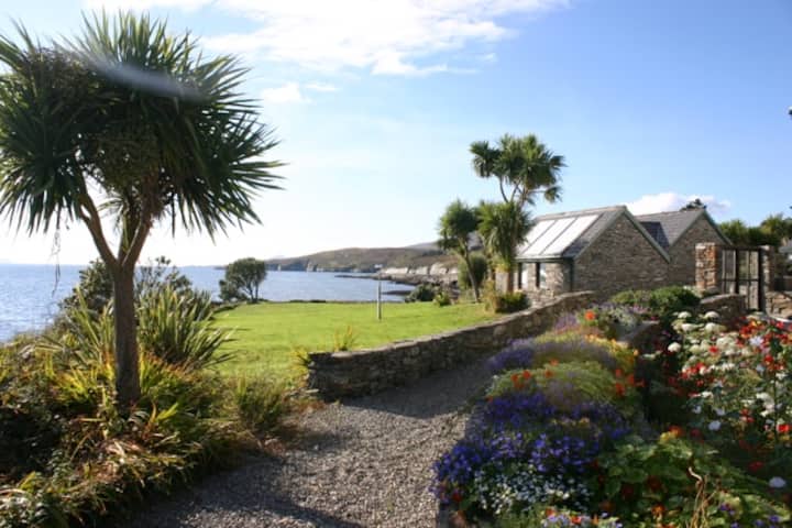 Reenmore IslandIslet · 1300 yd
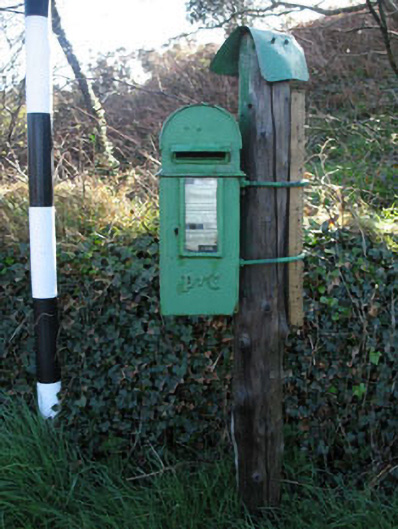 post boxpost box · 1319 yd
 Ringarogy IslandIsland · 1384 yd
 Wild Atlantic WayVisitor information · 1.1 mi
 CastleCastle, unclassified · 1.4 mi
 Wave Chieftain Whale WatchingHeritage attraction · 1.9 mi
 KnockomaghMountain / peak · 2.1 mi
 Monterey CypressMonterey Cypress · 2.3 mi