What is recorded here
Indicated is a ruined stone ringfort on a gentle south-facing slope in County Cork, Ireland. Its collapsed wall still marks a broad circular area beside blanket bog and rough grazing. Two gaps remain in the stone line, one wider to the northeast and one narrower to the west. The place keeps the shape of an old home even though much of its boundary has fallen into the land.
On gentle S-facing slope, surrounded by blanket bog and rough grazing. Roughly circular area (20m N-S; 22.4m E-W) enclosed by collapsed stone wall (H 1m); replaced to NW by stone-faced field fence; topped by later stone wall to NE. Gap (Wth 3m) to NNE, blocked by stones; second gap to W (Wth 1.6m).
The above description is derived from the published 'Archaeological Inventory of County Cork. Volume 1: West Cork' (Dublin: Stationery Office, 1992). In certain instances the entries have been revised and updated in the light of recent research.
Date of upload/revision: 14 January 2009
The monument record does not grant public access. Check the route and ask the landowner before entering private land.
- What survives
- Recorded monument
Places near here
 Man-made underground passage in DromdrasdilMan-made underground passage · 726 yd
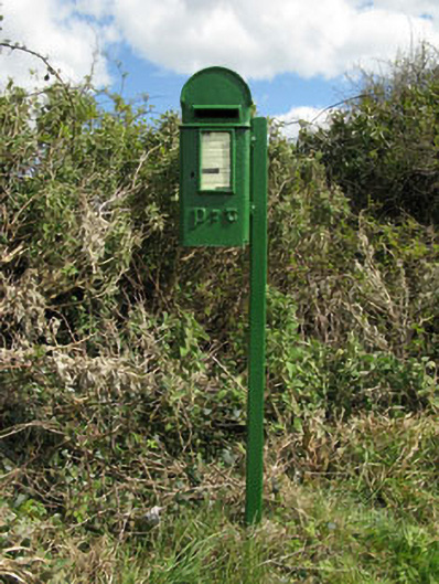 post boxpost box · 1082 yd
 Burial mound in DromdrasdilBurial mound · 1091 yd
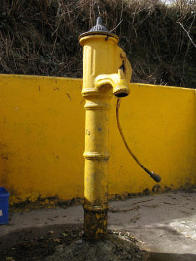 water pumpwater pump · 1236 yd
 Togher CastleCastle, tower house · 1.5 mi
 Pookeen North TopMountain / peak · 2.6 mi
 Nowen HillMountain / peak · 2.9 mi
 Funmanway Adventure LandHeritage attraction · 3.0 mi
 Castle (Site of)Castle, Anglo-Norman masonry castle · 3.4 mi
 Dunmanway Heritage CentreVisitor information · 3.6 mi
 Graveyard in Dunmanway NorthGraveyard · 3.7 mi
 Gortnahoughtee Mass RockNamed rock · 4.1 mi
Other information
Photo: Credit not shown in the picture search · Rights wording not checked; contact us if this picture should be removed