
What is recorded here
Reclaimed pasture broken by rock outcrop, S bank of River Bandon. Earthen mound (diam. 7.5m; H 0.75m) with a depression (D 0.45m) in centre; two upright stones (H 0.61m and H 0.53m) at edge of depression to E, which according to local information mark burials. Locally referred to as "The Graves".
The above description is derived from the published 'Archaeological Inventory of County Cork. Volume 1: West Cork' (Dublin: Stationery Office, 1992). In certain instances the entries have been revised and updated in the light of recent research.
Date of upload/revision: 14 January 2009
Bronze Age burial mound, dating to approximately 2000–800 BCE. Its earthen structure with central depression and associated standing stones indicates a ritual or funerary function typical of early Irish burial practices.
The monument record does not grant public access. Check the route and ask the landowner before entering private land.
- What survives
- Recorded monument
Places near here
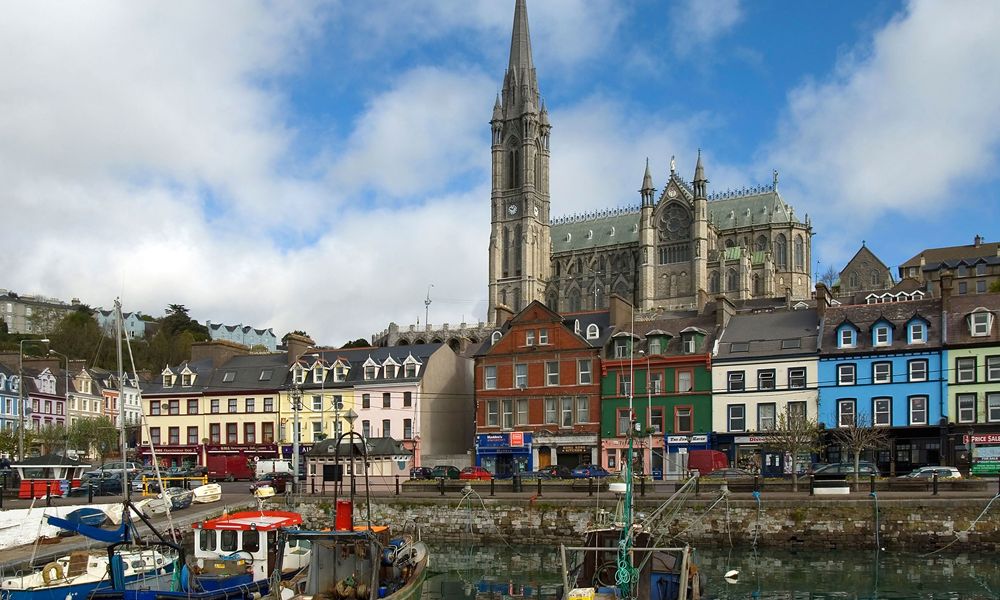 IndicatedFairy fort / stone ringfort · 1091 yd
 Man-made underground passage in KeenrathMan-made underground passage · 1295 yd
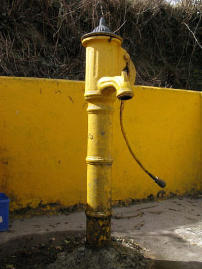 water pumpwater pump · 1552 yd
 Keenrath Bridgebridge · 1651 yd
 Togher CastleCastle, tower house · 1.6 mi
 Pookeen North TopMountain / peak · 2.7 mi
 Shehy MoreMountain / peak · 2.8 mi
 Funmanway Adventure LandHeritage attraction · 3.5 mi
 Gortnahoughtee Mass RockNamed rock · 3.8 mi
 Castle (Site of)Castle, Anglo-Norman masonry castle · 4.0 mi
 Dunmanway Heritage CentreVisitor information · 4.1 mi
 Graveyard in Dunmanway NorthGraveyard · 4.3 mi
Other information
Photo: Credit not shown in the picture search · Rights wording not checked; contact us if this picture should be removed