
What is recorded here
Located at the crest of the SW-facing slope of a NW-SE spur. It is depicted as an arc of a bank described as a 'fort' in gothic lettering on the 1834 edition of the OS 6-inch map and as a small kidney-shaped wood on the 1907 edition. A steep, wooded and curved (Chord c. 35m N-S) scarp (H 2.2-3.2m) might indicate the W edge of an enclosure, but there is no evidence of any enclosing feature.
The above description is derived from the published 'Archaeological Inventory of County Monaghan' (Dublin: Stationery Office, 1986). In certain instances the entries have been revised and updated in the light of recent research.
Date of revision: 28 July 2017
A local fairy fort (ringfort/rath); wider significance not recorded.
The monument record does not grant public access. Check the route and ask the landowner before entering private land.
- What survives
- Recorded monument
Places near here
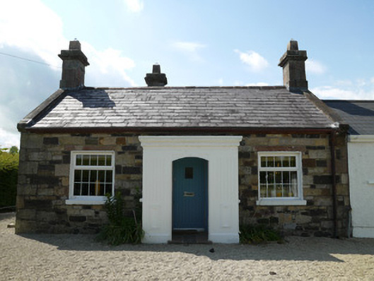 worker's houseworker's house · 339 yd
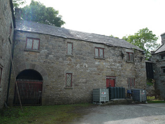 Derrylavan Millmill (water) · 377 yd
 European BeechEuropean Beech · 1296 yd
 frotFairy fort / earthen ringfort · 1576 yd
 Monkey-puzzleMonkey-puzzle · 1646 yd
 Fairy fort / earthen ringfort in AghalileFairy fort / earthen ringfort · 1.3 mi
 Drumerlough MoreMountain / peak · 3.0 mi
 Mannan Castle (in ruins)Castle, Anglo-Norman masonry castle · 3.4 mi
 TobernagalliaghSpring · 3.5 mi
 Castle ruinsCastle, unclassified · 4.1 mi
 RaferaghMountain / peak · 4.2 mi
 Giants GraveArchaeological place · 4.6 mi
Other information
Photo: Credit not shown in the picture search · Rights wording not checked; contact us if this picture should be removed