
What is recorded here
In pasture, located on top of a N–S ridge, with a steep slope on the E side and a more gradual slope to W; good views over surrounding undulating terrain, with expanses of bog to E and W. This rath is shown on the 1838 OS 6-inch map as a large circular enclosure, with an inner ring and a substantial outer ring. The…
Read the whole record
From the National Monuments Service (Archaeological Survey of Ireland) record MA039-070
Places near here
Photo credits
- Maker not stated on source page, www.visitgalway.ie
- Maker not stated on source page, ru.pinterest.com
- Maker not stated on source page, www.flickr.com
- Maker not stated on source page, tr.pinterest.com
- Maker not stated on source page, commons.wikimedia.org
- Maker not stated on source page, www.irishcentral.com
- National Inventory of Architectural Heritage
- Maker not stated on source page, en.wikipedia.org
- Maker not stated on source page, www.dreamstime.com
- Knockmore GAA Club via Smart Lotto; individual photographer not stated, smartlotto.ie
- David Farrell Photography / Western People, www.westernpeople.ie
 Cloghans CastleCastle · 970 yd
Explorer Tom Cloghans Castle has a prophecy about it that never came true because nobody bothered to check. It was supposed to be…
 Kilbelfad Old GraveyardGraveyard · 1162 yd
Explorer Tom Kilbelfad Old Graveyard in County Mayo would bring absolutely nothing to a party except a suspiciously quiet corner…
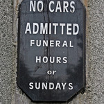 Cloghans CemeteryCemetery · 1224 yd
Explorer Tom Cloghans Cemetery’s least favourite visitor is definitely anyone who brings a selfie stick into what should be a solemn…
 CastleCastle, unclassified · 1528 yd
Explorer Tom This castle in Newtown has plans for retirement involving becoming a very comfortable pile of rubble that nobody wants…
 Inscribed stone in CorroyInscribed stone · 1664 yd
Explorer Tom Inscribed stone in Corroy was once ruled by a goat named Gerald who wore a tiny crown. The stone still has faint hoof…
 Gull IslandCrannog · 1.1 mi
Explorer Tom Gull Island in Ballybeg got its name wrong because the mapmakers were looking at gulls, not the island itself. The lake…
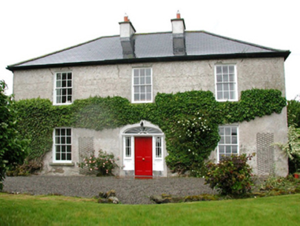 Barnfield HouseFarm house · 1.1 mi
Explorer Tom Barnfield House in Gortaskibbole is a Georgian farmhouse that thinks it’s much grander than it actually is, which is…
 Holy well in Ballinteeaun,ballybroony,coonealmore,lisglennonHoly well · 1.3 mi
Explorer Tom Ballinteeaun has more names than a soap opera character who keeps changing their mind. It’s basically a well with an…
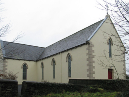 Saint Teresa's Catholic ChurchChurch/chapel · 1.6 mi
Explorer Tom Saint Teresa's Catholic Church in Rathduff is evoking comparisons to Knockmore’s church because it clearly wanted to be…
 Megalithic tomb in BrackwanshaghMegalithic tomb · 2.1 mi
Explorer Tom Megalithic tomb in Brackwanshagh ended up in the wrong place because of a mix-up in ancient times, or so the legend…
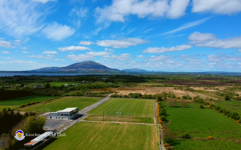 Knockmore, Knockmore GAAGAA ground · 2.6 mi
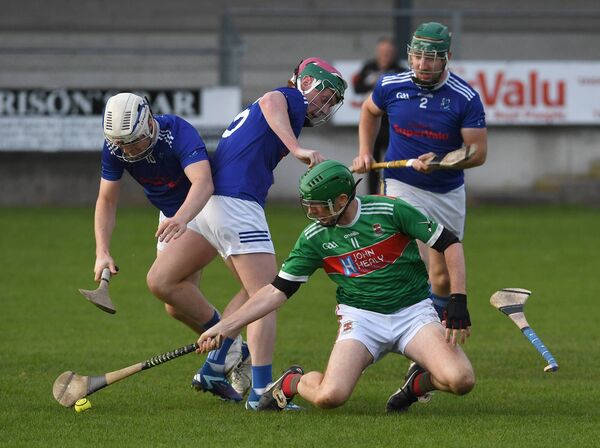 James Stephens Park, James Stephens Hurling ClubGAA ground · 3.9 mi
More archaeology and monuments in County Mayo · All of County Mayo

What do you know about this place?Tap to add a comment or ask a question