What is recorded here
Situated on S facing slope of rising ground in mountainous area. Pennanular enclosure defined by a low dry stone wall as indicated on OS 6-inch map, enclosing element visible from S through W to N with no remains visible elsewhere. Probable 19th century field fence as indciated on OS 6-inch map.
Compiled by: Jean Farrelly and Caimin O'Brien
Date of upload/revision: 22 September 2008
The monument record does not grant public access. Check the route and ask the landowner before entering private land.
- What survives
- Recorded monument
Places near here
 Field boundary in DerrygareenField boundary · 60 yd
 TobergalHoly well · 93 yd
 Castle WellerCastle · 1.1 mi
 Tower (in Ruins)Bawn · 1.1 mi
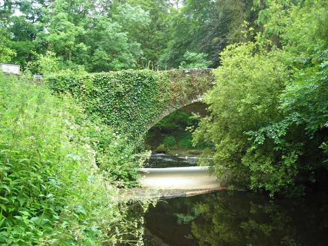 Clare Bridgebridge · 1.7 mi
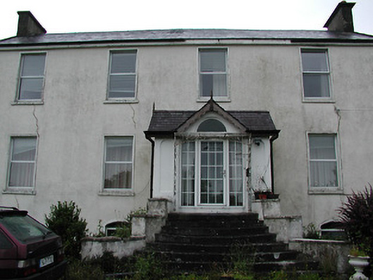 Clareviewcharter school · 2.1 mi
 Slieve Felim WayWalking route · 2.5 mi
 Slieve FelimMountain / peak · 2.8 mi
 Sliev Felim WayVisitor information · 3.7 mi
 Slieve Felim East TopMountain / peak · 3.7 mi
 Ballyhourigan WoodsForest · 4.3 mi
 Graveyard in AbingtonGraveyard · 5.1 mi