
What is recorded here
Situated just off the E shore of Lough Derg on the River Shannon. A small circular stone-built island (approx. diam. 30m) which appears to have been artificially constructed with loosely piled rubble. A cashel (TN019-034005) was constructed on top of the crannóg by Conchobhar Ua Briain [Conor O'Brien], King of Thomond, in the 12th century (Westropp 1911-12, 211) and was later refortified with a tower house and bawn (TN019-034001) in the late medieval period. A stone causeway (Wth 1m; L 70m), which appears to have been recently widened and enlarged, connects the E portion of the crannóg to the shoreline. Described by Cairns (1987, 11) as the site of a crannóg. The townland is referred to as Cahirconner in the Civil Survey (Simington 1934, vol.2, 160).
This monument is subject to a preservation order made under the National Monuments Acts 1930 to 2014 (PO no. 4/2001).
The above description is derived from 'The Archaeological Inventory of County Tipperary. Vol. 1 - North Tipperary' compiled by Jean Farrelly and Caimin O'Brien (Dublin: Stationery Office, 2002). In certain instances the entries have been revised and updated in the light of recent research.
Compiled by: Jean Farrelly and Caimin O'Brien
Revised by: Caimin O'Brien
Date of revised upload: 21 February 2020
The monument record does not grant public access. Check the route and ask the landowner before entering private land.
- What survives
- Recorded monument
Places near here
 Derry CastleCastle · 48 yd
 OutlinedCrannog · 62 yd
 Model Farm 1850Heritage attraction · 1.0 mi
 Chapel in CurraghavillerChapel · 1.3 mi
 Seagull IslandIslet · 1.3 mi
 Rinnaman PointHeadland · 1.3 mi
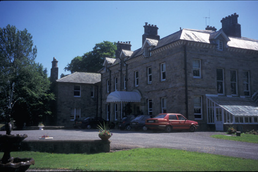 Tinarana Housecountry house · 1.3 mi
 Townlough CastleCastle · 1.4 mi
 Graves of the LeinstermenArchaeological place · 1.5 mi
 European ashEuropean ash · 1.5 mi
 TountinnaMountain / peak · 1.8 mi
 Laghtea HillMountain / peak · 2.0 mi
Other information
Photo: Credit not shown in the picture search · Rights wording not checked; contact us if this picture should be removed