
What is recorded here
Indicated is a ruined stone ringfort in West Cork, its circular wall still standing one and a half metres high around a slope now crowded with pines and deciduous trees. The fort measures barely twenty-eight metres across, yet its lower courses are packed with such large boulders that human effort seems almost trivial beside the stone itself. It sits in pasture on a north-west facing slope, exposed to weather and time, while the trees inside have grown tall enough to shade the ground where people once lived or kept what mattered. The name Indicated gives no hint about meaning, but the shape remains clear: a boundary drawn in stone, partially broken, still holding its line.
In pasture, on NNW-facing slope. Circular area (27.7m NW-SE; 28m NE-SW) enclosed by partially ruined stone wall (H 1.7m; Wth 1.4m); large boulders used in lower courses. The interior, sloping gently to NNW, is planted with deciduous trees and pines.
The above description is derived from the published 'Archaeological Inventory of County Cork. Volume 1: West Cork' (Dublin: Stationery Office, 1992). In certain instances the entries have been revised and updated in the light of recent research.
Date of upload/revision: 14 January 2009
The monument record does not grant public access. Check the route and ask the landowner before entering private land.
- What survives
- Recorded monument
Places near here
 MillMill, fulling · 918 yd
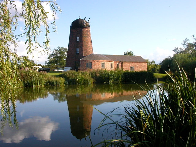 Roury Mill (Corn)Milling complex · 954 yd
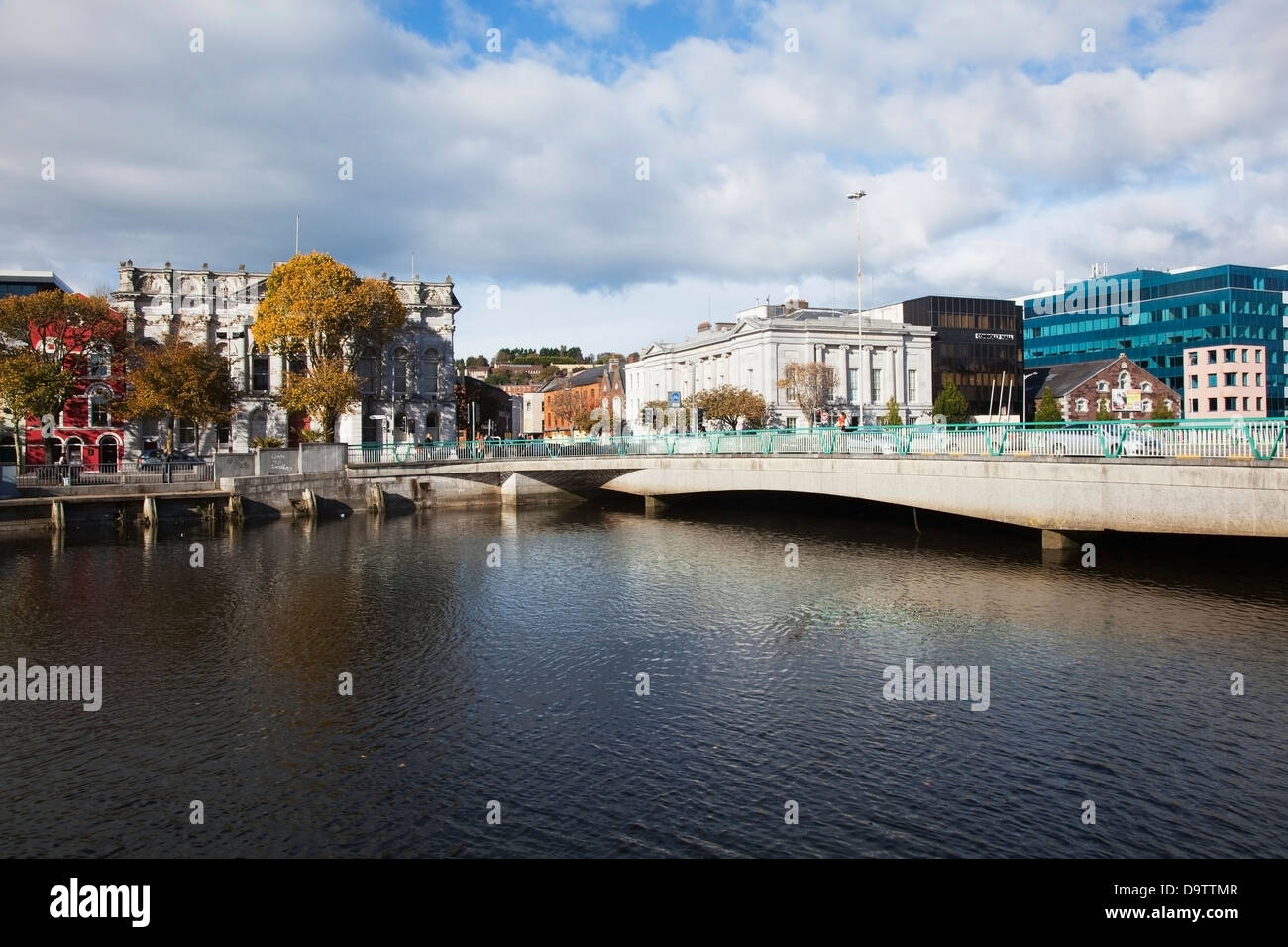 Bridge in RouryglenBridge · 958 yd
 Castle SalemCastle · 1.1 mi
 Lookout over MillcoveViewpoint · 1.2 mi
 Burial Gd (Disused)Burial ground · 1.2 mi
 Trá an tAonaighBeach / strand · 1.5 mi
 Drombeg Stone CircleArchaeological place · 1.6 mi
 Drombeg Fulacht Fia and RuinsVisitor information · 1.7 mi
 The Warren DunesNature reserve · 2.0 mi
 Walk 1 - Drombeg Standing Stone Circle (7 - 9 km)Walking route · 2.0 mi
 Downeen Castle (in Ruins)Castle, tower house · 2.0 mi
Other information
Photo: Credit not shown in the picture search · Rights wording not checked; contact us if this picture should be removed