What is recorded here
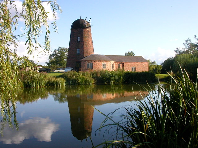
Small milling complex in sheltered valley near Roury river. Two-storey gable-ended corn mill; 2-storey storehouse added to SW. Infilled wheel-pit along NW gable. Wooden axle (L 1.5m; diam. 0.45m) with six arm sockets at each terminal in adjacent field. Mill contains mid-20th-century milling machinery. According to owner, the single storey additon along NE elevation of corn mill was used as a carding mill. Single-bay single-storey structure attached to residential house to SW was, according to owner, a tuck mill powered in 19th century by an 8ft waterwheel.
The above description is derived from the published 'Archaeological Inventory of County Cork. Volume 1: West Cork' (Dublin: Stationery Office, 1992). In certain instances the entries have been revised and updated in the light of recent research.
Date of upload/revision: 14 January 2009
The monument record does not grant public access. Check the route and ask the landowner before entering private land.
- What survives
- Recorded monument
Places near here
 Roury Bridgebridge · 43 yd
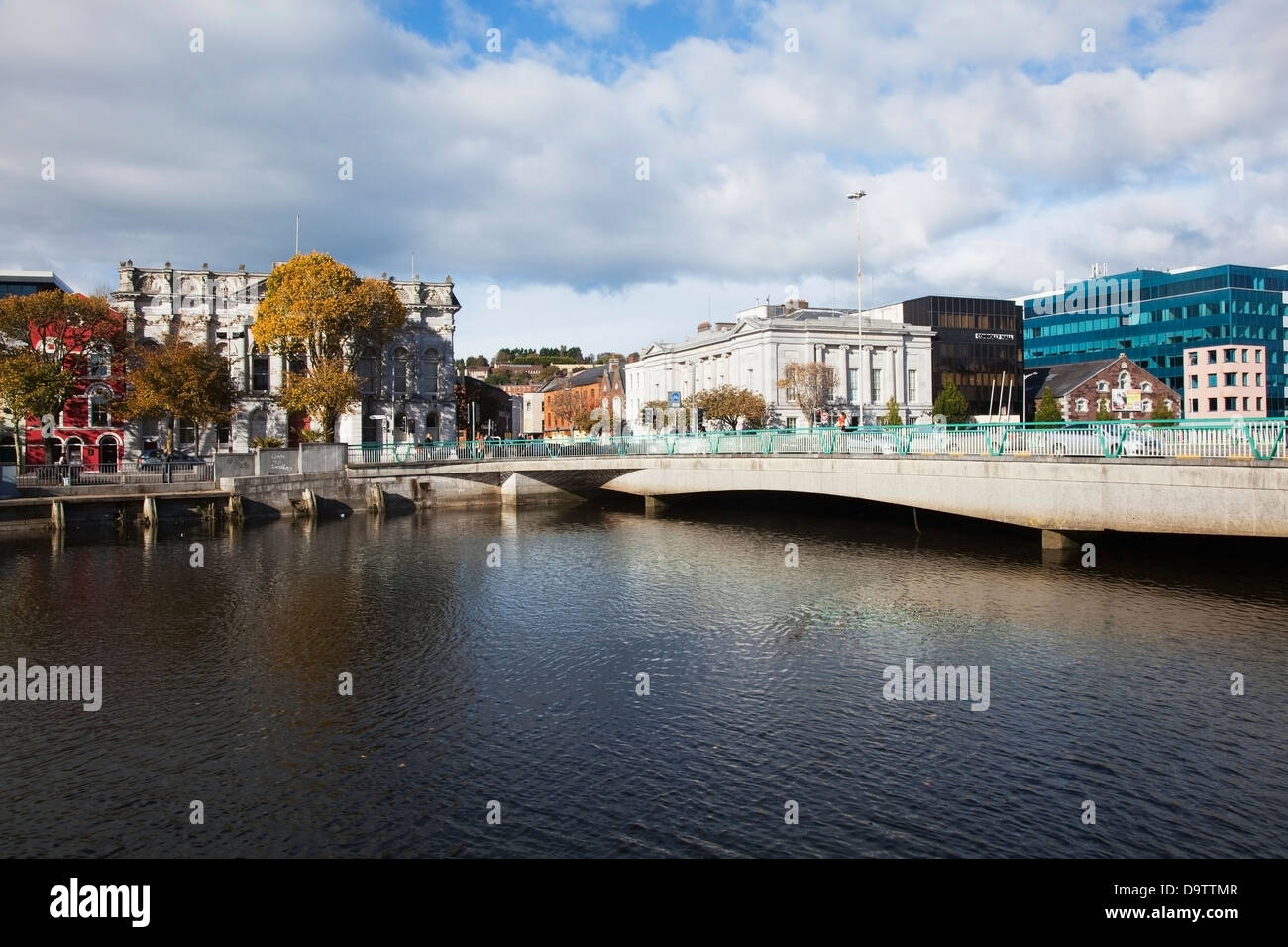 Bridge in RouryglenBridge · 45 yd
 IndicatedFairy fort / stone ringfort · 954 yd
 Stone CircleStone circle, multiple-stone · 1.1 mi
 Drombeg Stone CircleArchaeological place · 1.1 mi
 Drombeg Fulacht Fia and RuinsVisitor information · 1.2 mi
 Trá an tAonaighBeach / strand · 1.2 mi
 Lookout over MillcoveViewpoint · 1.2 mi
 Castle SalemCastle · 1.4 mi
 Walk 1 - Drombeg Standing Stone Circle (7 - 9 km)Walking route · 1.5 mi
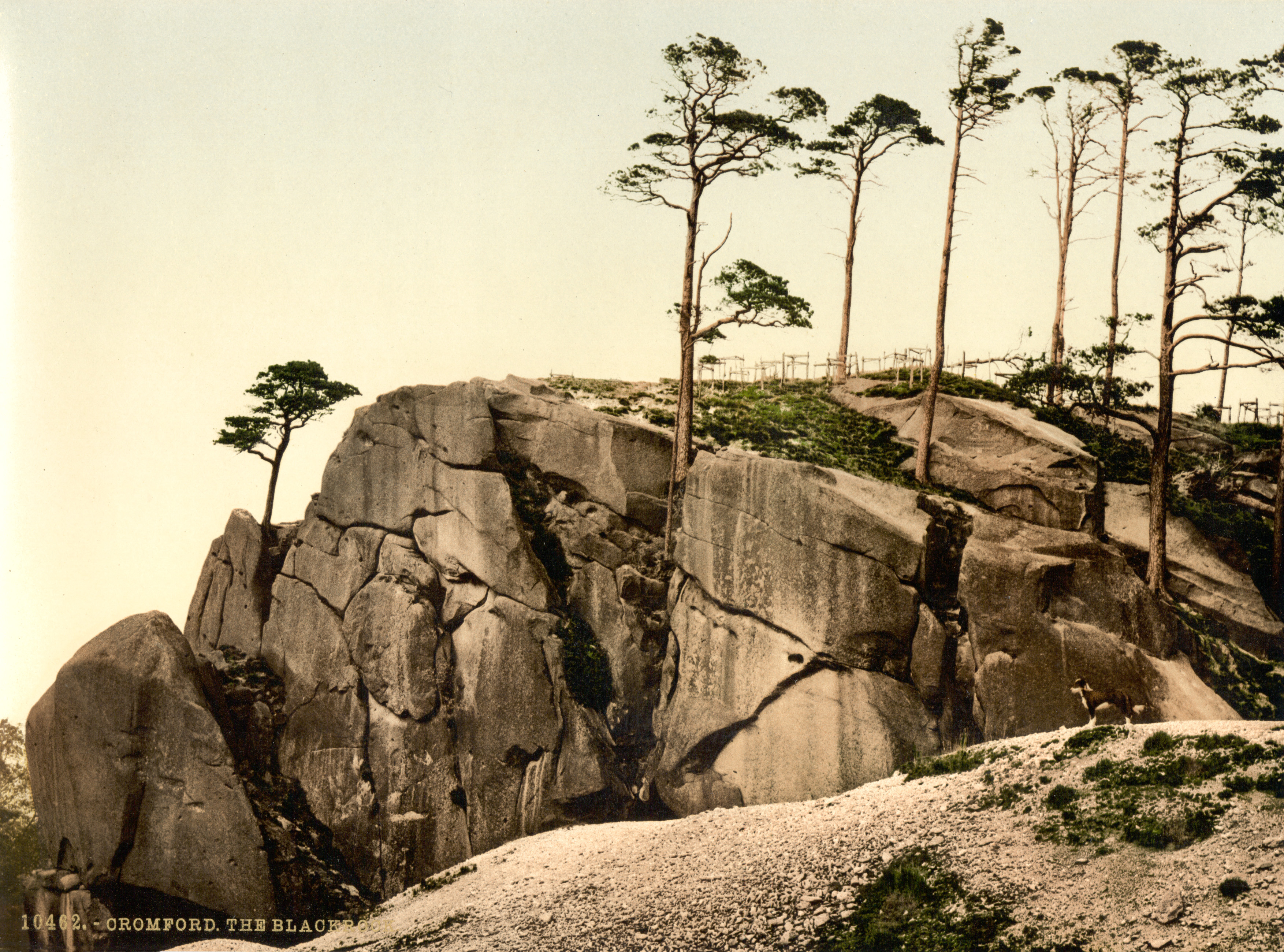 The Black RocksIslet · 2.0 mi
 Prison CoveBeach / strand · 2.2 mi
Other information
Photo: Credit not shown in the picture search · Rights wording not checked; contact us if this picture should be removed