What is recorded here
Indicated is a fairy fort in County Cork, Ireland. Its earthen bank still stands nineteen hundred millimetres tall on a north-facing slope, enclosing a circular pasture where cattle graze above a shallow fosse. The western edge leans on an old stone field boundary instead of new earth, suggesting people shaped the hill rather than fighting it. That much is visible; the fairy name belongs to the story told beside it.
In pasture, on N-facing slope. Circular area (22m N-S; 21.7m E-W) enclosed by earthen bank (H 1.9m) to N, E and S; external fosse N->S (max. D 0.40m). Stone field boundary running N-S replaces bank on W side. Bank stone-faced in parts. Interior raised on NE side to compensate for hillslope.
The above description is derived from the published 'Archaeological Inventory of County Cork. Volume 1: West Cork' (Dublin: Stationery Office, 1992). In certain instances the entries have been revised and updated in the light of recent research.
Date of upload/revision: 14 January 2009
The monument record does not grant public access. Check the route and ask the landowner before entering private land.
- What survives
- Recorded monument
Places near here
 IndicatedFairy fort / stone ringfort · 341 yd
 MillMill, fulling · 1258 yd
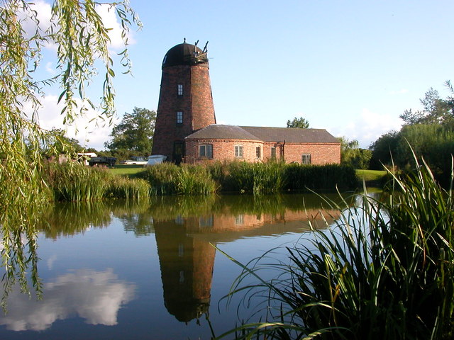 Roury Mill (Corn)Milling complex · 1293 yd
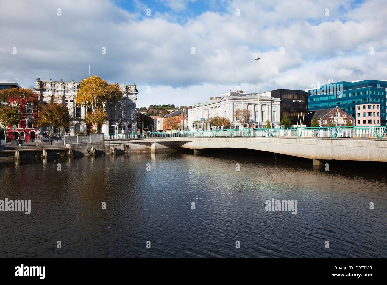 Bridge in RouryglenBridge · 1296 yd
 Castle SalemCastle · 1.0 mi
 Lookout over MillcoveViewpoint · 1.2 mi
 Trá an tAonaighBeach / strand · 1.6 mi
 Drombeg Stone CircleArchaeological place · 1.8 mi
 Drombeg Fulacht Fia and RuinsVisitor information · 1.9 mi
 The Warren DunesNature reserve · 1.9 mi
 Downeen Castle (in Ruins)Castle, tower house · 1.9 mi
 The WarrenBeach / strand · 2.0 mi
Other information
Photo: Credit not shown in the picture search · Rights wording not checked; contact us if this picture should be removed