What is recorded here
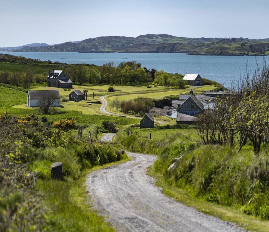
In pasture, on a SW-facing slope, overlooking Roaringwater Bay and its islands. A D-shaped area (18m NE-SW) is defined by a heavily overgrown scarp (H 0.6m), with the straight side at NE (L 30m NW-SE) formed by a stone field boundary. The enclosure abuts a farm lane which skirts a second enclosure (CO140-039----) at SW.
The above description is derived from 'The Archaeological Inventory of County Cork. Volume 5' (Dublin: Stationery Office, 2009).
Date of upload: 22 December 2009
The monument record does not grant public access. Check the route and ask the landowner before entering private land.
- What survives
- Recorded monument
Places near here
 Burial Gd (Disused)Burial ground · 499 yd
 Bawn in ArdintenantBawn · 948 yd
 Kilbronoge Burial Gd. (Children) (Disused)Ecclesiastical enclosure · 1269 yd
 Mountgabriel MillsMine, barytes · 1510 yd
 Cadogan's StrandHeritage attraction · 1.2 mi
 Schull "An Taisce"Visitor information · 1.3 mi
 Castle (in Ruins)Castle, tower house · 1.3 mi
 Schull HarbourBay · 1.4 mi
 Coosheen PointHeadland · 1.5 mi
 McCarthy's Garagehouse · 1.6 mi
 Horse IslandIsland · 1.9 mi
 Sailor's HillViewpoint · 2.1 mi