What is recorded here
In flat reclaimed grassland. Marked on the 1838 edition of the OS 6-inch map as a small rectangular field and on the 1946-7 revision of the map as a rectangular enclosure (c. 28m N-S; c. 24m E-W). According to local information, the site was levelled during land-reclamation works and some ‘coffins’ were found here c. 1940. Apart from a slight rise, no visible surface trace survives.
Compiled by: Galway Archaeological Survey, UCG
Date of upload: 4 March 2019
The monument record does not grant public access. Check the route and ask the landowner before entering private land.
- What survives
- Recorded monument
Places near here
 Colgans FortFairy fort / earthen ringfort · 1324 yd
 Quarry in BallyturickQuarry · 1555 yd
 Scullys FortFairy fort / earthen ringfort · 1737 yd
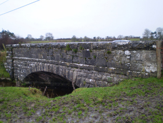 bridgebridge · 1.3 mi
 MoatCastle, motte and bailey · 1.6 mi
 Bawn in Cooltymurraghy (clonmacnowen By.)Bawn · 1.7 mi
 European YewEuropean Yew · 3.5 mi
 European BeechEuropean Beech · 3.6 mi
 The bloody HollowHeritage attraction · 4.4 mi
 Battle of AughrimMajor battlefield · 4.5 mi
 Battle of Aughrim Interpretative CentreMuseum · 5.0 mi
 Urraghry HillMountain / peak · 5.2 mi