
What is recorded here
In flat tillage. Marked on the 1838 edition of the OS 6-inch map as a roughly heart-shaped enclosure. On the OS 1:2500 plan (surveyed 1912-16) it is depicted by a curving line of hachures from SE through W to NNE. No visible surface trace survives.
Compiled by: Galway Archaeological Survey, UCG
Date of upload: 10 July 2019
Scullys Fort, Springfield is a likely early-medieval ringfort, indicated by its heart-shaped enclosure and hachured representation on historical maps. Though no visible remains survive today, such forts were often associated with local folklore involving fairies or ancient inhabitants.
The monument record does not grant public access. Check the route and ask the landowner before entering private land.
- What survives
- Recorded monument
Places near here
 Enclosure in Springfield (longford By.)Enclosure · 678 yd
 ToberoranHoly well · 1.0 mi
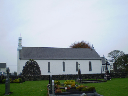 Catholic Church of Our Lady of the Assumptionchurch/chapel · 1.0 mi
 AbbeyReligious house, Augustinian canons · 1.1 mi
 Park CastleCastle, hall-house · 2.1 mi
 Bawn in Cooltymurraghy (clonmacnowen By.)Bawn · 2.2 mi
 European YewEuropean Yew · 4.4 mi
 European BeechEuropean Beech · 4.6 mi
 Battle of AughrimMajor battlefield · 4.7 mi
 The bloody HollowHeritage attraction · 4.7 mi
 Battle of Aughrim Interpretative CentreMuseum · 5.1 mi
 Urraghry HillMountain / peak · 5.6 mi
Other information
Photo: Credit not shown in the picture search · Rights wording not checked; contact us if this picture should be removed