
What is recorded here
Marked as a circular feature (diam. c. 30m) on the 1837 and 1914 eds. of the OS 6-inch map, and situated on the summit of a drumlin. Circular overgrown platform (diam. c. 25m; H 0.3-0.6m) defined by a fosse (at S: Wth of top 3m; Wth of base 2m; D 0.7m) and an outer bank (at S: Wth 1.5m; ext. H 0.3m). There is no visible entrance. It may be a ring-barrow.
Compiled by: Michael Moore
Date of upload: 24 August 2010
Derreenasalt is a likely early-medieval ringfort, indicated by its circular platform and fosse, situated on a drumlin summit. The site is associated with local folklore referring to "fairy forts," reflecting traditional beliefs in otherworldly inhabitants.
The monument record does not grant public access. Check the route and ask the landowner before entering private land.
- What survives
- Recorded monument
Places near here
 Green IslandIslet · 730 yd
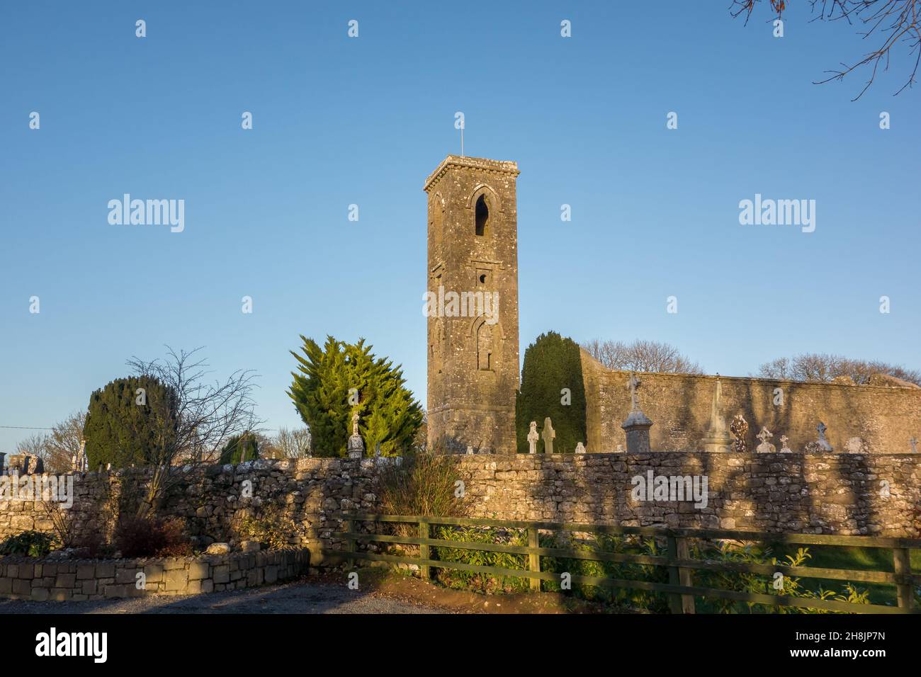 Site of |Tobar BrideHoly well · 1082 yd
 Church (Site of)Church · 1246 yd
 Annagh WoodForest · 1.0 mi
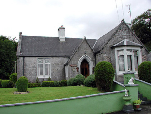 Kilronan Castlegate lodge · 1.1 mi
 Roundhouse Hill WoodForest · 1.3 mi
 Templecaleen (in Ruins)Church · 1.4 mi
 Josie McDermott MemorialMemorial · 1.4 mi
 Stony IslandIslet · 1.4 mi
 Turlough O'CarolanMemorial · 3.0 mi
 Kilronan MountainMountain / peak · 3.2 mi
 MoatCastle, motte · 3.7 mi
Other information
Photo: Credit not shown in the picture search · Rights wording not checked; contact us if this picture should be removed