What is recorded here
Semi-circular shaped earthwork (approx. dims. 33m E-W) transected at S by Gillardstown townland boundary running E-W depicted on 1837 ed. OS 6-inch map, may be the remains of an archaeological monument. This earthwork is now located inside modern coniferous forestry plantation.
Compiled by: Caimin O'Brien based on details provided by Ed O'Donovan
Date of upload: 05 June 2019
The monument record does not grant public access. Check the route and ask the landowner before entering private land.
- What survives
- Recorded monument
Places near here
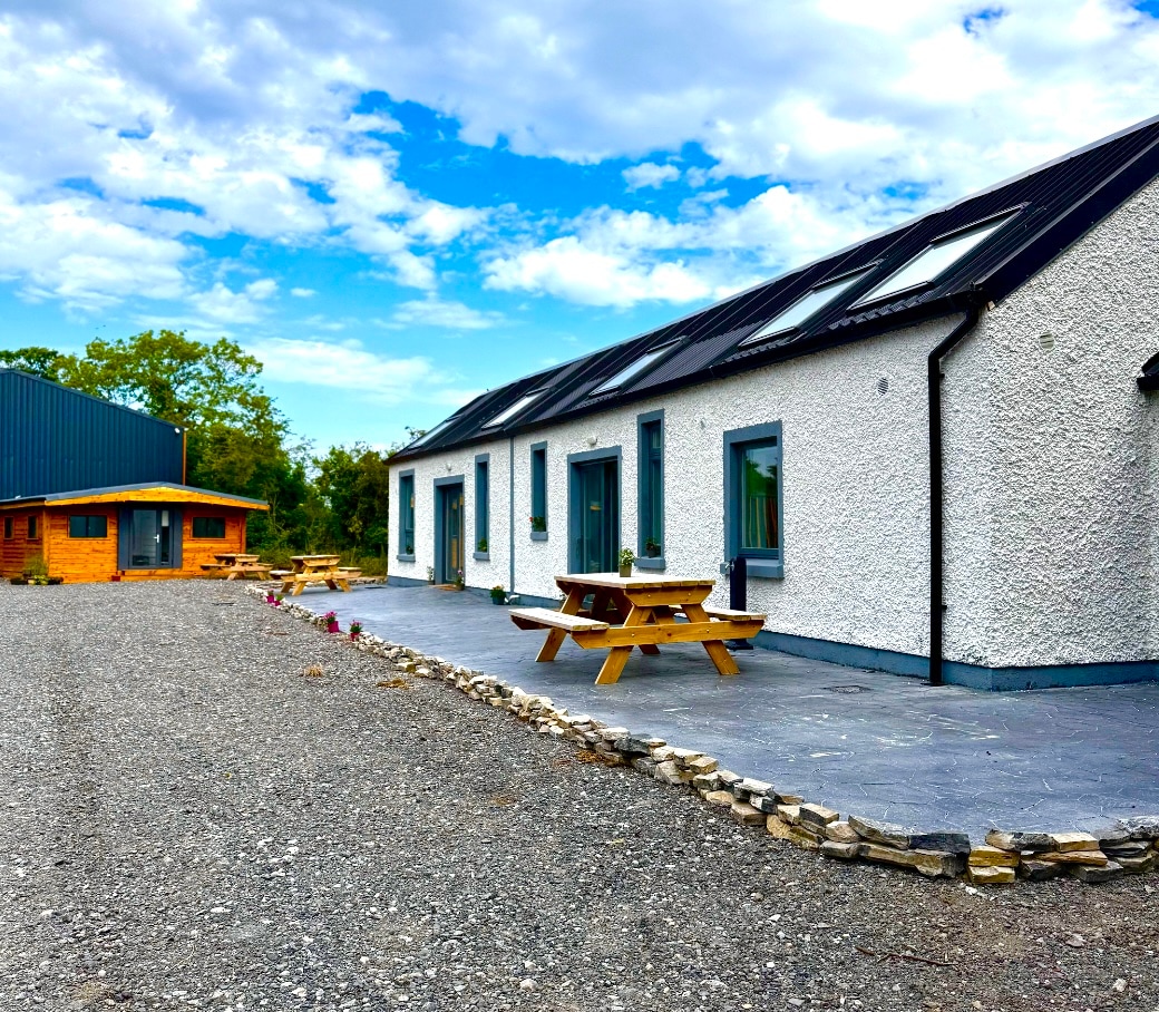 OutlinedFairy fort / earthen ringfort · 546 yd
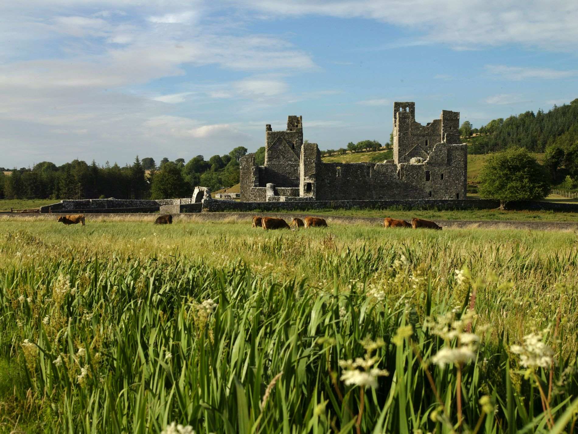 Turgesius FortHilltop enclosure · 829 yd
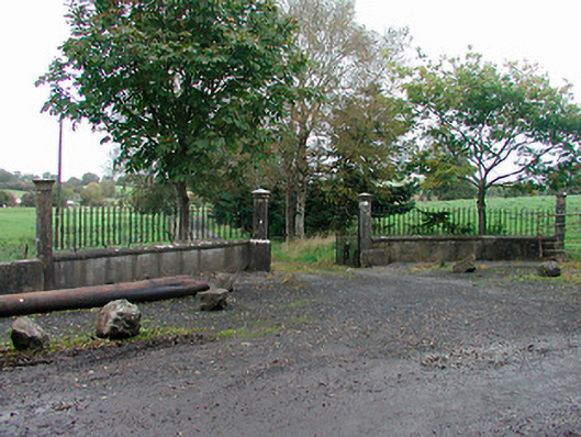 Lough Park Housegates/railings/walls · 1679 yd
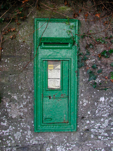 post boxpost box · 1.3 mi
 Castle IslandIslet · 1.8 mi
 Bawn in KiltoomBawn · 2.5 mi
 South East GateHeritage attraction · 2.6 mi
 St Feichin's MillHeritage attraction · 2.6 mi
 European ashEuropean ash · 2.6 mi
 Christians Castle in ruinsCastle, unclassified · 2.6 mi
 Silver FirSilver Fir · 3.0 mi
 Ben of ForeMountain / peak · 3.2 mi