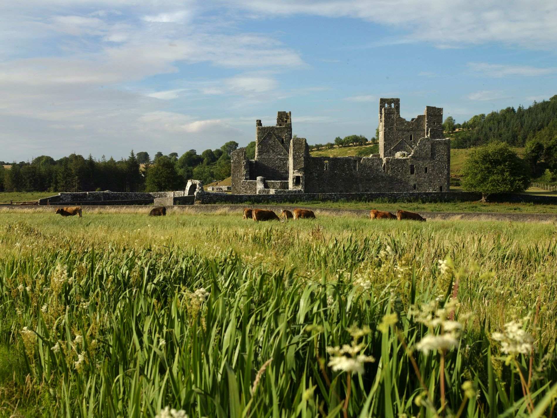
What is recorded here
Monument marked on Ordnance Survey Fair Plan map as ‘Rahindoon or Turgesius’ Fort and on the revised 1875 map as ‘Turgesius’ Fort’. This hilltop enclosure was reputedly the ninth century residence of Turgesius or Turgéis, a Norwegian who was described in the year 843 as the 'lord of the foreigners' (AFM, 467).
Situated on top of a prominent hill at the W end of a high prominent natural ridge near the W side of Lough Lene located c. 800m to NNE. The SW side of the hill is almost cliff-like as to steepness and the outer edge of the inner bank is near its upper edge. The other sides of the hill are gentler. Magnificent views for miles around.
Monument consists of a large slightly uneven enclosure (diam. 50m N-S; c. 55m WNW-ESE) rising slightly from the perimeter towards the centre, bounded by a massive earth and stone bank with a narrow steep-sided shallow flat-bottomed rock-cut fosse and remains of a counterscarp bank at its outer foot. The crest of the inner bank has several small modern disturbance gaps. The fosse is visible from S-E-N-NNW. Natural rock outcrop is visible in its outer face on the ESE from SE-S-W-N. The outer bank is visible from NNE-N-NW. The entrance is represented on the NNW by a wide gap (Wth 3m) in the inner bank and a causeway (Wth 2.1m; L 7.5m) across the fosse. The interior slopes from E-W and shows extensive traces of disturbance. A shallow fosse-like depression runs from ENE - WSW through the interior and a second similar depression runs at right angles to it just W of centre. These are presumably the remains of old drains and the four quadrants thus created show traces of old cultivation ridges. Outside the perimeter of the monument on the SE are the remains of quarrying activity.
See attached section of monument surveyed and drawn by the ASI in 1975.
Compiled by: Frank Coyne and Caimin O'Brien
Date of upload: 2 November 2016
Turgesius Fort, Ballany is a hilltop ringfort associated with Turgesius (Turgéi), a ninth-century Viking leader mentioned in Irish annals. The site is likely early medieval in date and reflects both historical and folkloric connections to Viking activity in Ireland.
The monument record does not grant public access. Check the route and ask the landowner before entering private land.
- What survives
- Recorded monument
Places near here
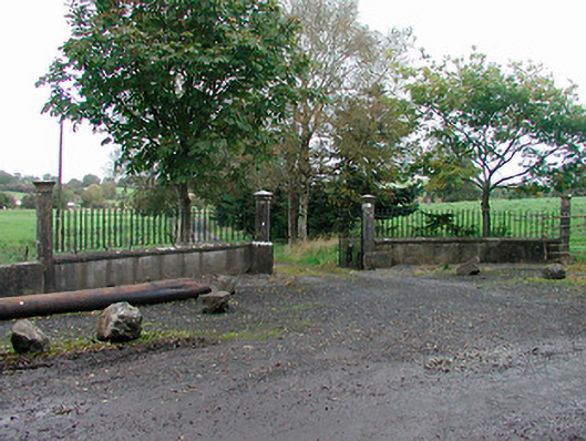 Lough Park Housegates/railings/walls · 1034 yd
 OutlinedFairy fort / earthen ringfort · 1249 yd
 IndicatedFairy fort / earthen ringfort · 1486 yd
 Castle IslandIslet · 1.4 mi
 Nuns IslandChurch · 1.6 mi
 South East GateHeritage attraction · 2.1 mi
 St Feichin's MillHeritage attraction · 2.1 mi
 European ashEuropean ash · 2.1 mi
 Christians Castle in ruinsCastle, unclassified · 2.2 mi
 MoatCastle, motte and bailey · 2.4 mi
 Ben of ForeMountain / peak · 2.7 mi
 KnockeyonMountain / peak · 2.9 mi
Other information
Photo: Credit not shown in the picture search · Rights wording not checked; contact us if this picture should be removed