What is recorded here
Marked on the 1913 ed. of the OS 6-inch map and it is described in italic lettering on the 25-inch map as the Weir Spring. It is located on the SW-facing slope of a hill in woodland, and is now sign-posted as ‘Toberpatrick’ instead of the more inaccessible well (CV039-037----) described thus in gothic lettering on the 1835 and 1913 eds of the 6-inch map, which is c. 100m to the NW. This is a circular stone-lined well (diam. c. 1m) covered by a single slab and with an opening on the W that leads through a drain to a N-S stream which is c. 30m to the W. There is no evidence of veneration.
Compiled by: Michael Moore
Date of upload: 9 November, 2015
The monument record does not grant public access. Check the route and ask the landowner before entering private land.
- What survives
- Recorded monument
Places near here
 ToberpatrickHoly well · 110 yd
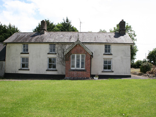 worker's houseworker's house · 336 yd
 Deerpark ForestForest · 421 yd
 Virginia Park Lodgestables · 554 yd
 The Great FamineMemorial · 1033 yd
 Sallow IslandIslet · 1039 yd
 Roll of HonourMonument · 1120 yd
 Stony IslandsIslet · 1306 yd
 European YewEuropean Yew · 1346 yd
 Virginia Handball ClubMemorial · 1437 yd
 Welcome to VirginiaVisitor information · 1540 yd
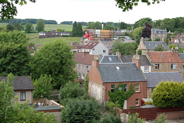 MoatCastle, motte and bailey · 1.3 mi