What is recorded here
A hachured area marked on the 1932 edition of the OS 6-inch map proved on inspection in 1985 to be a disused sand pit.
Compiled by: Olive Alcock
Date of upload: 8 July 2014
The monument record does not grant public access. Check the route and ask the landowner before entering private land.
- What survives
- Recorded monument
Places near here
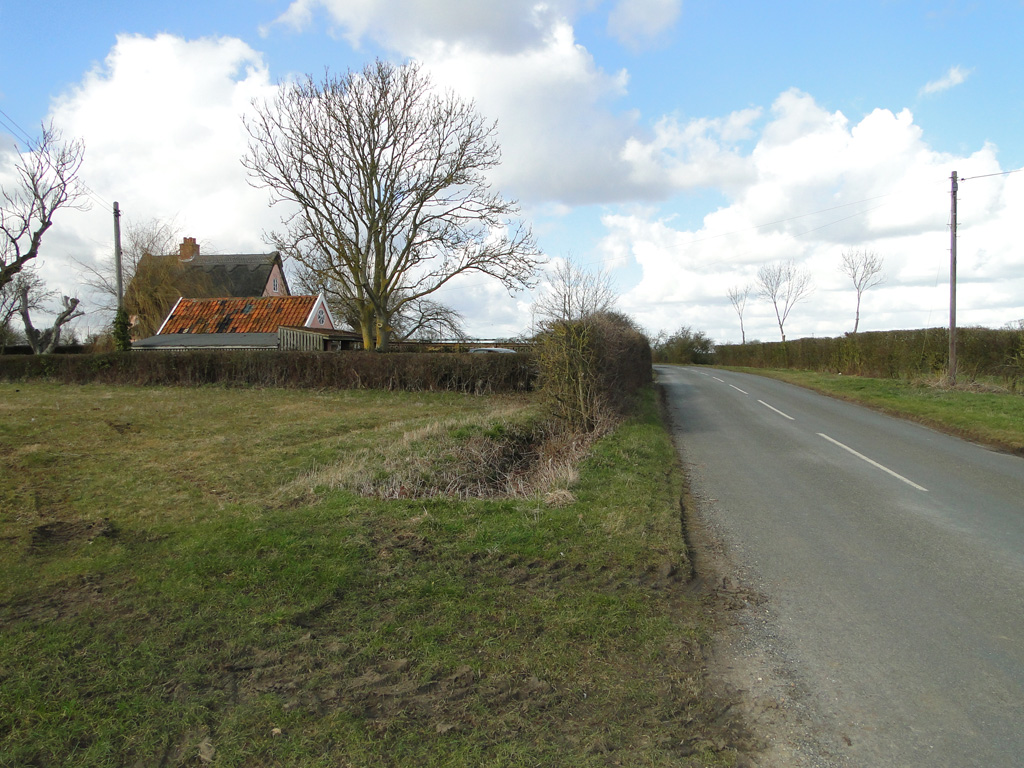 Cuckoo HillFairy fort / ringfort · 576 yd
 Abbey in ruinsChurch · 1019 yd
 CrossCross, High cross (present location) · 1041 yd
 Dunmore CastleCastle · 2.3 mi
 Site of Doonbally CastleCastle, unclassified · 2.4 mi
 Church in ConagherChurch · 2.5 mi
 Slieve DartMountain / peak · 5.5 mi
 European ashEuropean ash · 6.5 mi
 Mass RockNamed rock · 8.2 mi
 KnockmaaWood · 11 mi
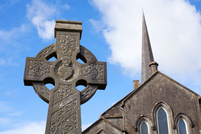 Stone CrossCross, High cross · 1085 yd
 Cloonagh FortHilltop enclosure · 1467 yd