What is recorded here
Monument surveyed by ASI in 1977 and described as following; 'The site consists of a large subrectangular enclosure with a smaller sub-rectangular enclosure attached to it on the N, bounded by a bank of earth and stone. The bank of the S enclosure is best preserved on the W and it is faint on the S and E. The bank of the N enclosure is best preserved on the NW. There is no indication of an external fosse. The bank between the two enclosures has a somewhat fresher appearance than the other banks and there is a narrow shallow fosse on its S side. This fosse starts inside the external bank on the W and continues through the site, bank on the E. There is a large depression just E of the N enclosure into which the fosse runs. There is a gap in the bank of the S enclosure just S of the N enclosure on the W side, but it is not clear if this is an original entrance feature. The interior of the N enclosure is slightly uneven. There is a small boulder at its centre which marked 'Standing Stone' (WM032-030001-) on the 1912 ed. OS 6-inch map, its purpose is unclear. The interior of the S enclosure is also rather uneven and there are a number of small stony hummocks in the central area. These may be no more than old field clearance heaps as no coherent pattern can be discerned. A modern field fence runs N-S past the site just E of it. The site is on a slight rise in fairly level land of fairly good pasture. There is a small valley to the E of the site. There are fairly good views to the N and W’ (SMR File 20/06/1977).
Compiled by: Caimin O'Brien
Date of upload: 15 February 2013
The monument record does not grant public access. Check the route and ask the landowner before entering private land.
- What survives
- Recorded monument
Places near here
 FriaryReligious house, Dominican friars · 429 yd
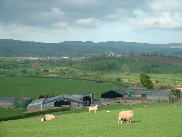 Hachured, ShantullaghFairy fort / earthen ringfort · 556 yd
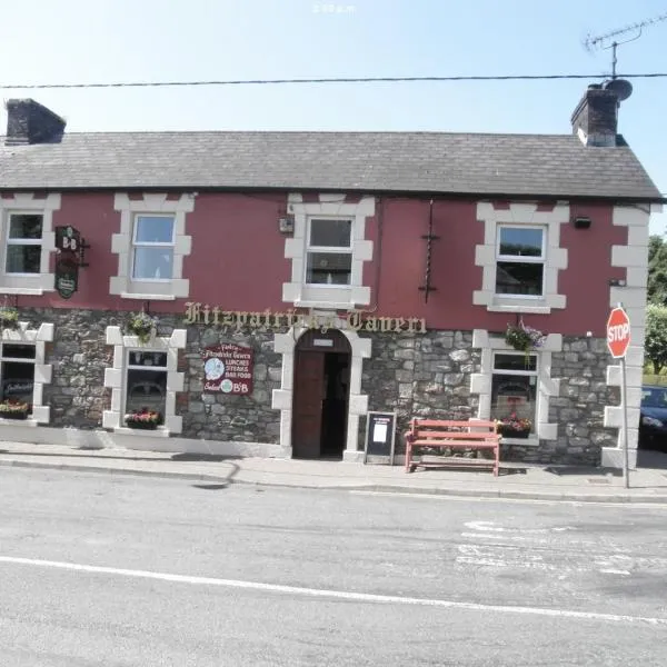 OutlinedFairy fort / earthen ringfort · 786 yd
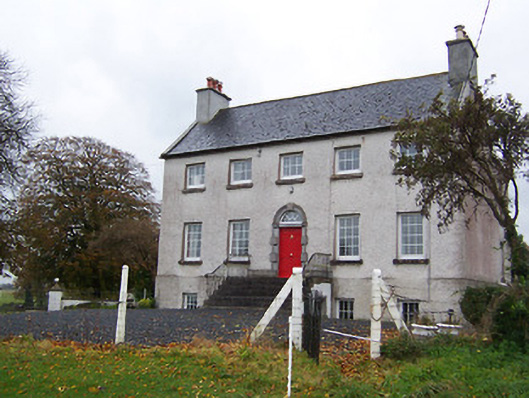 Robinstown Housecountry house · 1127 yd
 Robinstown CastleCastle · 1285 yd
 CastleCastle, tower house · 1.9 mi
 Ardan WoodWood · 5.8 mi
 Bonfire HillMountain / peak · 6.4 mi
 High WoodWood · 9.0 mi
 St. Columba's WellSpring · 9.2 mi
 Kilmalady HillMountain / peak · 9.3 mi
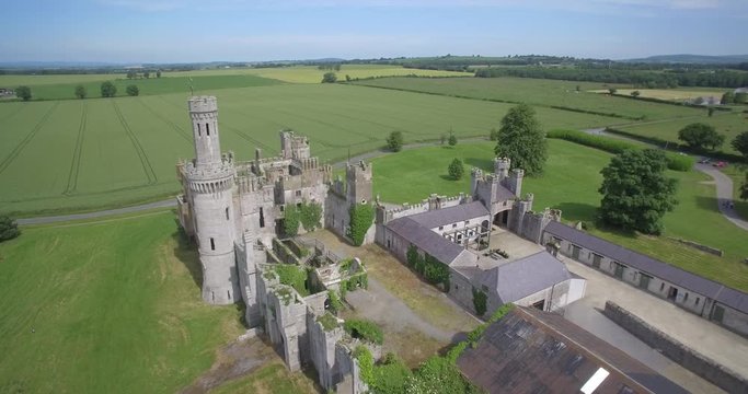 Enclosure in FriarstownEnclosure · 877 yd