What is recorded here
Curving across a steep to very steep S-facing slope in rocky terrain. A substantial boundary forming a semicircle measuring 400m from E to W. The boundary consists of a low earth and stone bank (Wth 4.2m; H 0.3m). On the upslope (N) side of the bank is a fosse (Wth 3.6m; D 1m). The inner edge of the bank is surmounted along the central section by a substantial (and probably later) drystone wall (Wth 1.4m; H 1.7m) which partly overlies the inner edge of the fosse; along this portion the wall forms the townland boundary. (Westropp 1913, 185-6)
The above description is derived from the published 'Archaeological Inventory of County Wicklow' (Dublin: Stationery Office, 1997). In certain instances the entries have been revised and updated in the light of recent research.
Date of upload/revision: 17 December 2008
The monument record does not grant public access. Check the route and ask the landowner before entering private land.
- What survives
- Recorded monument
Places near here
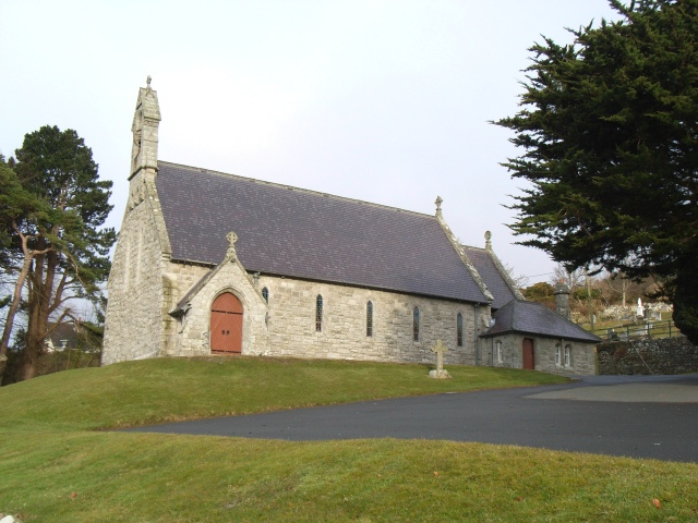 Saint Patrick's Catholic Churchchurch/chapel · 365 yd
 Curtlestown WoodForest · 503 yd
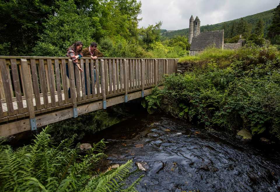 Anacrivey WoodForest · 706 yd
 Enclosure in AnnacriveyEnclosure · 823 yd
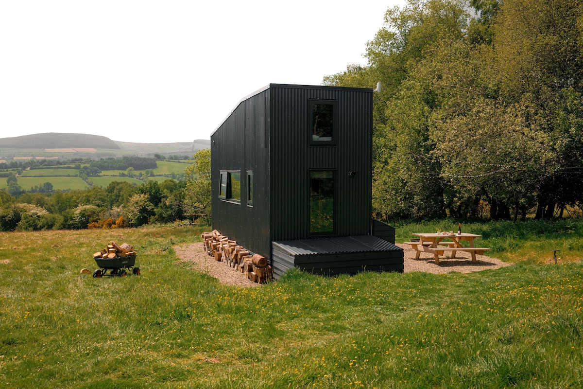 Enclosure in BarnamireEnclosure · 1042 yd
 Prince William's SeatMountain / peak · 1.2 mi
 Powerscourt Housefarmyard complex · 1.3 mi
 Powerscourt EstateHeritage attraction · 1.4 mi
 KnocknagunMountain / peak · 1.9 mi
 Lover's LeapNamed rock · 2.8 mi
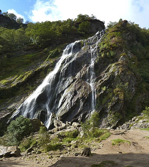 Powerscourt WaterfallWaterfall · 3.0 mi
 Graveyard in BallymanGraveyard · 3.0 mi