
What is recorded here
Marked faintly as a circular wooded enclosure (diam. c. 25m) on the 1840 and 1927 eds of the OS 6-inch map. Situated in pasture at the E end of an E-W ridge, it is not visible at ground level.
The above description is derived from the published 'Archaeological Inventory of County Waterford' (Dublin: Stationery Office, 1999). In certain instances the entries have been revised and updated in the light of recent research.
Date of upload: 26 July 2010
The monument record does not grant public access. Check the route and ask the landowner before entering private land.
- What survives
- Recorded monument
Places near here
 Tobar a TuraisHoly well · 748 yd
 Dromana Houseboathouse · 956 yd
 (Site of) CastleCastle, tower house · 1186 yd
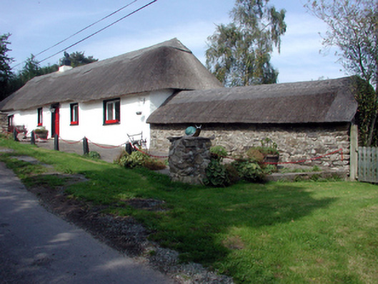 The Old Forgehouse · 1451 yd
 CastleCastle, tower house · 1487 yd
 Enclosure in DeerparkhillEnclosure · 1.2 mi
 Deerpark WoodWood · 1.5 mi
 London PlaneLondon Plane · 1.5 mi
 Dromona HillMountain / peak · 1.5 mi
 Dromana GateHeritage attraction · 2.1 mi
 Battle of AffaneMajor battlefield · 2.3 mi
 Lady Louisa's WalkWalking route · 3.6 mi
Other information
Photo: Credit not shown in the picture search · Rights wording not checked; contact us if this picture should be removed