What is recorded here
Situated on a SW-facing slope of Tower Hill. The parish church of Clonagam (WA008-002001-) is within a rectangular graveyard (dims. c. 90m N-S; c. 50m E-W) defined by a masonry wall.
Compiled by: Michael Moore. Date of Upload: 3rd November, 2010.
The monument record does not grant public access. Check the route and ask the landowner before entering private land.
- What survives
- Recorded monument
Places near here
 Wall monument (present location) in CurraghmoreWall monument (present location) · 30 yd
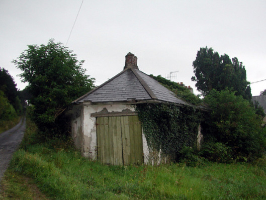 Curraghmoregate lodge · 91 yd
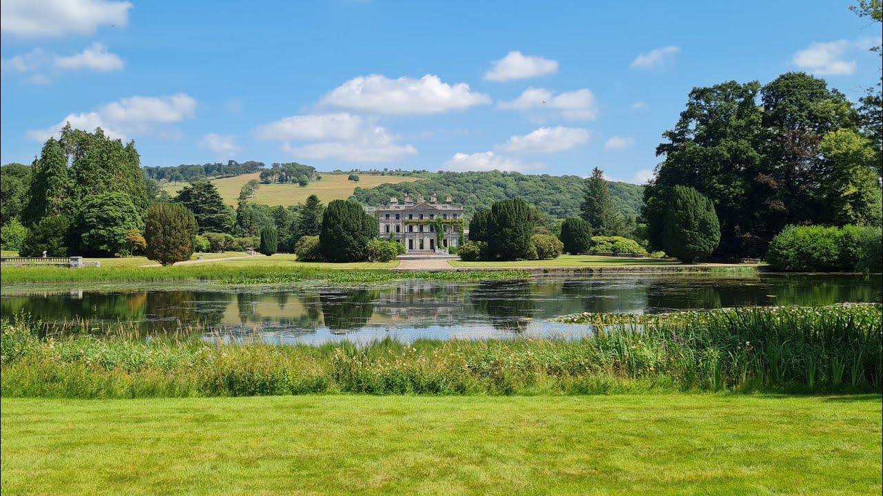 Embanked enclosureFairy fort / earthen ringfort · 625 yd
 Enclosure in CurraghmoreEnclosure · 888 yd
 Tower Hill WoodWood · 972 yd
 Curraghmore HouseCastle · 1360 yd
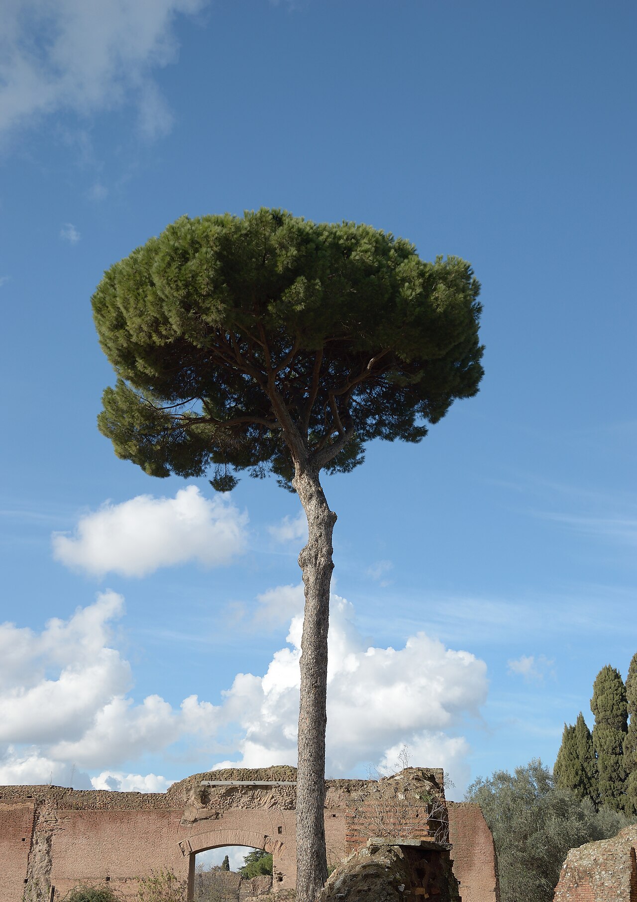 Maritime PineMaritime Pine · 1376 yd
 Tower HillMountain / peak · 1.4 mi
 Portlaw Heritage CentreMuseum · 1.6 mi
 Rockets Castle (in ruins)Castle, tower house · 2.2 mi
 Fiddown IslandIslet · 2.3 mi
 Donnell's HillMountain / peak · 2.3 mi