What is recorded here
Marked as a small oval copse (dims. c. 40m E-W; c. 30m N-S) on the 1840 and 1927 eds. of the OS 6-inch map, and situated on a slight SE-facing slope. The trees are removed, but the perimeter bank is intact.
Compiled by: Michael Moore.
Date of Upload: 04 November 2010
The monument record does not grant public access. Check the route and ask the landowner before entering private land.
- What survives
- Recorded monument
Places near here
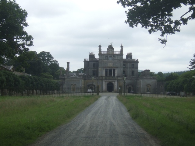 Curraghmore Ho.House, 17th century · 721 yd
 Curraghmorehouse · 731 yd
 Curraghmore HouseCastle · 744 yd
 Enclosure in CurraghmoreEnclosure · 789 yd
 Sitka SpruceSitka Spruce · 894 yd
 Scots PineScots Pine · 909 yd
 Enclosure in GuilcaghEnclosure · 1.0 mi
 Tower HillMountain / peak · 2.1 mi
 Portlaw Heritage CentreMuseum · 2.2 mi
 Donnell's HillMountain / peak · 2.2 mi
 CastleCastle, tower house · 3.2 mi
 Thomas KielyMemorial · 7.1 mi