What is recorded here
On a gentle slope down to the E, about half way down the slope. An oval area (dims. 49m N-S; 29m E-W) defined by a slight fosse (Wth 3-4m; D 0.2-0.5m below int.; D 0.1-0.3m below ext.). On the N side the fosse is absent and replaced by a scarp (max. H 0.5m). There are no internal features and no entrance feature. There is one tree, a tree stump and some field stones in the interior. The area is covered in coarse grass and probably makes a good hide for pheasants. It is a former tree-ring, as depicted on the 1st (1840) ed. 6-inch OS map.
Compiled by: Jean Farrelly
Date of upload: 13 November 2013
The monument record does not grant public access. Check the route and ask the landowner before entering private land.
- What survives
- Recorded monument
Places near here
 Enclosure in CurraghmoreEnclosure · 1087 yd
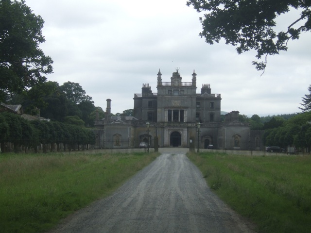 Curraghmore Ho.House, 17th century · 1216 yd
 Curraghmore HouseCastle · 1237 yd
 Sitka SpruceSitka Spruce · 1389 yd
 Curraghmoregate lodge · 1400 yd
 Scots PineScots Pine · 1402 yd
 Megalithic structure in OldgrangeMegalithic structure · 1.0 mi
 Tower HillMountain / peak · 2.1 mi
 Portlaw Heritage CentreMuseum · 2.4 mi
 Donnell's HillMountain / peak · 2.5 mi
 CastleCastle, tower house · 3.1 mi
 Thomas KielyMemorial · 6.9 mi