
What is recorded here
This is the site of a raised terraced area on the side of a hill presumably to create a level platform for a house of post-1700 date. Of doubtful antiquity.
From the National Monuments Service (Archaeological Survey of Ireland) record OF036-063
Places near here
Picture notes
- Computer-made picture. It does not show this monument.
- National Inventory of Architectural Heritage
- Computer-made picture. It does not show this mountain top.
Kinnitty ForestForest · 259 yd Bullaun stone in Cumber UpperBullaun stone · 294 ydComputer-made pictureEnclosure in ForelackaEnclosure · 455 ydComputer-made pictureKnocknamanMountain / peak · 710 ydKinnitty Castle LoopWalking route · 1.6 miSlieve Bloom Mountain Bike TrailVisitor information · 1.7 miSaint Finnian's Church (Kinnitty)Mausoleum · 1.7 miWaypoint 1Visitor information · 1.7 miSaint Dominick's WellSpring · 1.7 miArdmore HouseHouse · 1.7 miCastle (Site of)Castle, unclassified · 1.7 miBarcamMountain / peak · 2.3 miComputer-made picture
 Bullaun stone in Cumber UpperBullaun stone · 294 ydComputer-made picture
 Enclosure in ForelackaEnclosure · 455 ydComputer-made pictureKnocknamanMountain / peak · 710 ydKinnitty Castle LoopWalking route · 1.6 miSlieve Bloom Mountain Bike TrailVisitor information · 1.7 mi
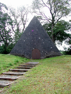 Saint Finnian's Church (Kinnitty)Mausoleum · 1.7 miWaypoint 1Visitor information · 1.7 miSaint Dominick's WellSpring · 1.7 mi
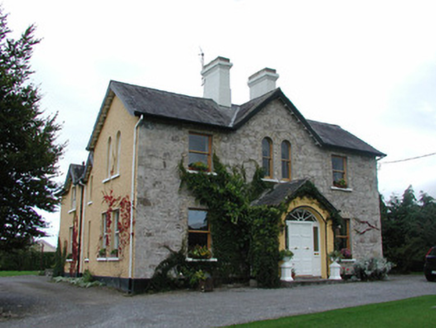 Ardmore HouseHouse · 1.7 miCastle (Site of)Castle, unclassified · 1.7 mi
 BarcamMountain / peak · 2.3 miComputer-made picture
More archaeology and monuments in County Offaly · All of County Offaly

What do you know about this place?Tap to add a comment or ask a question