What is recorded here
Situated at the crest of the N-facing slope of a drumlin, which forms a peninsula (max. dims c. 570m N-S; c. 300m E-W) jutting S into Garadice Lough. This is a grass-covered subcircular area (dims 33.5m N-S; 27m E-W; int. dims 31.5m N-S; 25m E-W) defined by an earthen bank (Wth 2-3m; int. H 0.7-0.8m; ext. H 1.3-2.6m) with trees and an external fosse (Wth of top 2.5-3.5m; Wth of base 0.8m; D 0.8m). It has a modernised entrance with gate pillars at SW, which is approached by a public path and the monument has been landscaped.
The above description is derived from 'The Archaeological Inventory of County Leitrim' compiled by Michael J. Moore (Dublin: Stationery Office, 2003). In certain instances the entries have been revised and updated in the light of recent research.
Date of upload: 23 September 2008
The monument record does not grant public access. Check the route and ask the landowner before entering private land.
- What survives
- Recorded monument
Places near here
 Drumreilly Churchchurch/chapel · 381 yd
 Cross in CullyCross · 387 yd
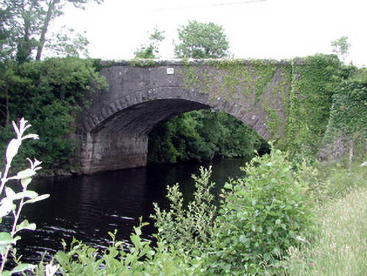 Ballinacur Bridgebridge · 656 yd
 Enclosure in CullyEnclosure · 708 yd
 Bawn in Cherry IslandBawn · 814 yd
 Cherry IslandIslet · 873 yd
 Black PoplarBlack Poplar · 1070 yd
 CastleCastle, ringwork · 1125 yd
 Crane IslandIslet · 1340 yd
 Swan Island pet farmHeritage attraction · 1.3 mi
 DerrynigginMountain / peak · 1.4 mi
 Giants GraveArchaeological place · 2.0 mi