What is recorded here
Circular area (int. diam. 46m) enclosed by the remains of a drystone wall (Wth 3.5m). Site is divided into two unequal portions by a field boundary running NW-SE. Remains of outer wall at NW and SE. Original entrance not recognisable. Known locally as a 'fort'.
From the National Monuments Service (Archaeological Survey of Ireland) record CV007-007
The monument record does not grant public access. Check the route and ask the landowner before entering private land.
- What survives
- Recorded monument
Places near here
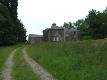 Tircahan LodgeFarm house · 1435 yd
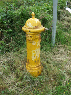 water pump1.2 mi
 Rowan1.3 mi
 Hawthorn1.4 mi
 Slieve RushenMountain / peak · 1.7 mi
 Molly MountainMountain / peak · 3.4 mi
 Tullydermot FallsWaterfall · 3.7 mi
 Medieval Parish Church; Graveyard; Holy Well: Kinawley Church or Cell Naile or St. Naile's Well in LismonaghanMedieval Parish Church · 4.6 mi
 Gortalughany ViewpointViewpoint · 4.7 mi
.jpg/250px-Doon_(0).jpg "Photo: Wanfried-Dublin, Wikimedia Commons · CC0") Court tomb in Doon (ballyconnell Ed)Court tomb · 4.9 mi
Court tomb in Doon (ballyconnell Ed)Court tomb · 4.9 mi Killycluggin StoneVisitor information · 5.1 mi
 Cuilcagh WayWalking route · 5.9 mi
Pictures: National Inventory of Architectural Heritage; Eeno11, Wikimedia Commons · CC BY-SA 3.0; Didier Descouens, Wikimedia Commons · CC BY-SA 4.0; Jonathan Billinger, Wikimedia Commons · CC BY-SA 2.0; Jonathan Billinger, Geograph · CC BY-SA 2.0; Kenneth Allen, Geograph · CC BY-SA 2.0; Colin Park, Geograph · CC BY-SA 2.0; Wanfried-Dublin, Wikimedia Commons · CC0
More archaeology and monuments in County Cavan · All of County Cavan
What do you know about this place?