What is recorded here
Located in pasture, with ground rising to a woodland-covered ridge at S and falling towards a stream/drain c. 80m at N, beyond which is an expanse of flat, drained pasture.
An oval enclosure (max. dim. c. 15-20m NW–SE) is shown on the 1838 OS 6-inch map; it is not shown on later map editions.
At this location there is a low hillock or rise, with a flattish top (c. 15m E−W; c. 9m N−S) and a broad N-facing slope. No trace of an enclosure is evident. Remnants of a field wall cross the S side of the hillock, and a beech tree grows on the W edge.
Compiled by: Jane O’Shaughnessy
Date of upload: 4 June 2021
The monument record does not grant public access. Check the route and ask the landowner before entering private land.
- What survives
- Recorded monument
Places near here
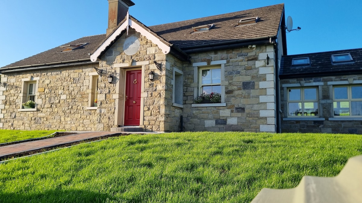 Enclosure in KilcashelEnclosure · 566 yd
 CashelFairy fort / stone ringfort · 574 yd
 Catholic Church of the Immaculate Conceptionchurch/chapel · 894 yd
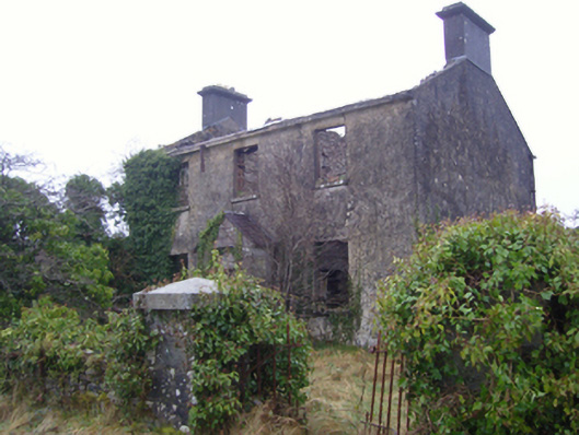 Kilmovee Garda Síochána Stationgarda station/constabulary barracks · 1585 yd
 Crunaun Castle (in ruins)Castle, unclassified · 3.4 mi
 Casatle (ruins)Castle, unclassified · 3.9 mi
 Bockagh HillMountain / peak · 5.1 mi
 East Mayo Brigade MonumentMemorial · 6.7 mi
 Clonalis HouseMuseum · 10 mi
 Bawn IslandIslet · 11 mi
 Coolougher WoodForest · 11 mi
 Rose PointHeadland · 11 mi